Gauge Conditions
Runnable: ? – ? CFS
Approximate - nearest available gauge. Use as general reference only.
Data from American Whitewater & USGS
Photo
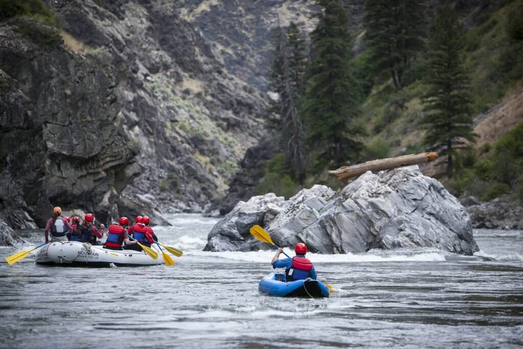
Photo courtesy of American Whitewater
Description
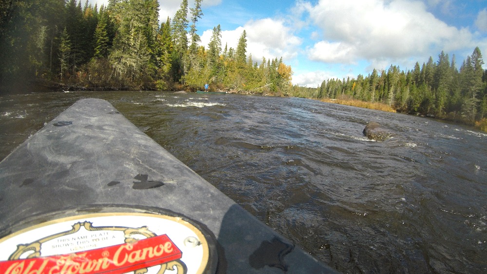
Take Out marks the end of the Allagash Stream section, serving as a transition point between Allagash Lake and Chamberlain Lake. While specific details are limited, paddlers should be prepared for potential water level variations and potential obstacles near the takeout zone. Careful navigation and situational awareness are recommended when transitioning between these water bodies.
Location
Other Rapids on This Run (1)
View Full Run
Allagash Lake to Chamberlain Lake
Allagash Stream
I-II
5.5 mi
Current Conditions
5-Day Forecast
Whitewater data from
American Whitewater
American Whitewater