Gauge Conditions
Runnable: ? – ? CFS
Approximate - nearest available gauge. Use as general reference only.
Data from American Whitewater & USGS
Photo
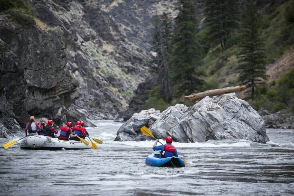
Photo courtesy of American Whitewater
Description
Take Out is the terminal rapid of this section, marking the end of the run where boaters exit the river near Highway 28. While difficulty is unclassified, paddlers should be prepared for potential river-wide obstacles or shallow conditions that could complicate the takeout process. Careful scouting and precise boat positioning are recommended to ensure a safe exit from the water.
Location
Other Rapids on This Run (18)
Rapid
N/A
A note about gauging flows in this stretch:
Rapid
N/A
Upstream Reach
 Rapid
N/A
Rapid
N/A
Put In
Rapid
N/A
Initial Sequence
Rapid
N/A
Increased action
Rapid
N/A
House/cabin, river-left
Rapid
N/A
House/cabin, river-right
Rapid
N/A
Island
Rapid
N/A
CC Road
Rapid
N/A
House/cabin, river-right
Rapid
N/A
Islands/logjams
Rapid
N/A
House/cabin, river-right
Rapid
N/A
House (barn?), river-right
Rapid
N/A
SNAG CITY!
Rapid
N/A
building (house? barn?) river-right
Rapid
N/A
Action increases
Rapid
N/A
House/cabin, river-right
Rapid
N/A
Final Sequence
View Full Run
B) below Bond Falls to Hwy.28 (8.4 miles)
Ontonagon, M.Br.
II
7.8 mi
Current Conditions
5-Day Forecast
Whitewater data from
American Whitewater
American Whitewater