Take-out
MN
Take Out
St. Louis - B) Boat Landing off Co.Hwy.110 to Forest Road 780 (6.75 or up to 18.7 miles) (MN)
Gauge Conditions
Runnable: ? – ? CFS
Approximate - nearest available gauge. Use as general reference only.
Data from American Whitewater & USGS
Photo
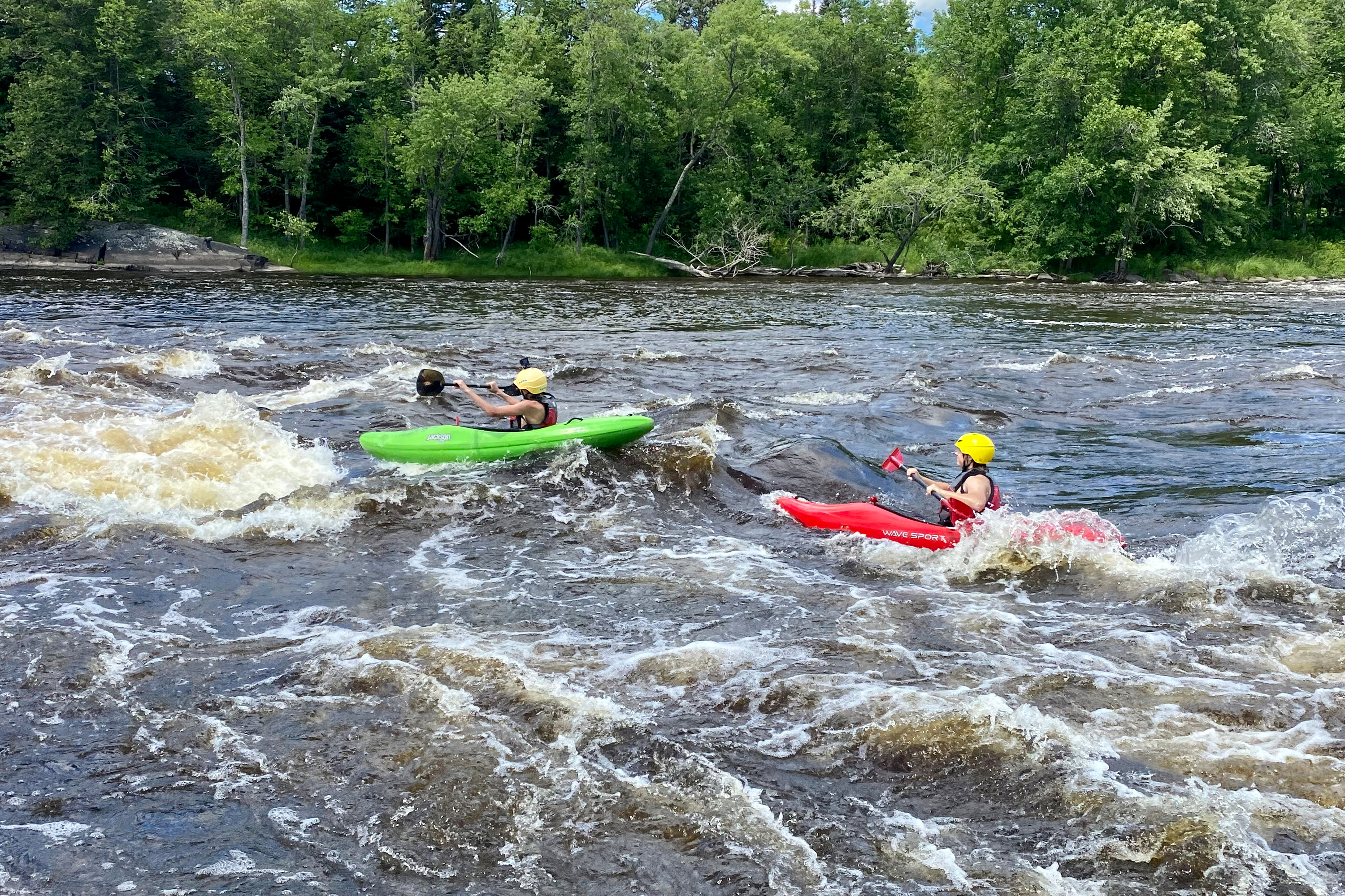
Photo courtesy of American Whitewater
Description
Take Out is a transition point marking the end of a significant river section, characterized by a boat landing that provides safe exit from the St. Louis River. While specifics about the rapid's technical features are limited, paddlers should be prepared for potential takeout logistics and ensure proper river access and egress at the designated landing area.
Location
Other Rapids on This Run (12)
 Rapid
N/A
Rapid
N/A
Put In
Rapid
N/A
Boat Landing
 Rapid
N/A
Rapid
N/A
Possible rockdam?
 Rapid
N/A
Rapid
N/A
marked rapids #1
 Rapid
N/A
Rapid
N/A
marked rapids #2
 Rapid
N/A
Rapid
N/A
marked rapids #3 (at 1490' contour)
Rapid
N/A
marked rapids #4
Rapid
N/A
Boat Ramp / Picnic Area
Rapid
N/A
marked rapids #5
 Rapid
N/A
Rapid
N/A
marked rapids #6 (at 1420' countour)
 Rapid
N/A
Rapid
N/A
marked rapids #7 (at 1410' contour)
 Rapid
N/A
Rapid
N/A
marked rapids #8
View Full Run
B) Boat Landing off Co.Hwy.110 to Forest Road 780 (6.75 or up to 18.7 miles)
St. Louis
I-II
6.6 mi
Current Conditions
5-Day Forecast
Whitewater data from
American Whitewater
American Whitewater