Take-out
WI
Take Out
Flambeau, S.Fk. - B) FR149/Ten Mile Rd/Cedar Rapids Rd to Fifield/Hwy.70 (19.4 miles) (WI)
Gauge Conditions
Runnable: ? – ? CFS
Approximate - nearest available gauge. Use as general reference only.
Data from American Whitewater & USGS
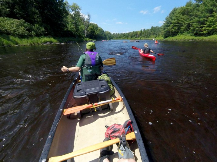
Photo
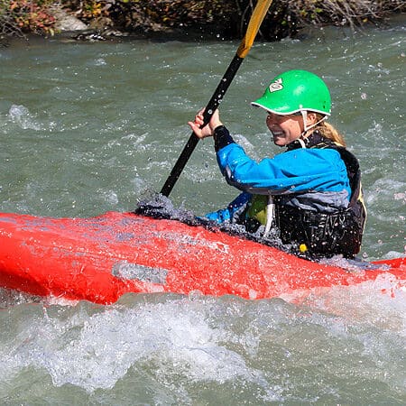
Photo courtesy of American Whitewater
Description
Take Out rapid marks the end of this Flambeau River section, serving as a transition point where paddlers must carefully navigate out of the river. While specifics of the rapid's technical features are not detailed in the provided information, paddlers should be prepared for potential takeout challenges such as uneven shoreline, swift current, or potential obstacles near the river's exit point.
Location


View Full Run
B) FR149/Ten Mile Rd/Cedar Rapids Rd to Fifield/Hwy.70 (19.4 miles)
Flambeau, S.Fk.
I-II
19.4 mi
Current Conditions
5-Day Forecast
Whitewater data from
American Whitewater
American Whitewater