Gauge Conditions
Runnable: 400.0 – 4,000.0 CFS
Almost certainly too low for reasonable boating. (Likely less than 100 cfs.)
Data from American Whitewater & USGS
Photo

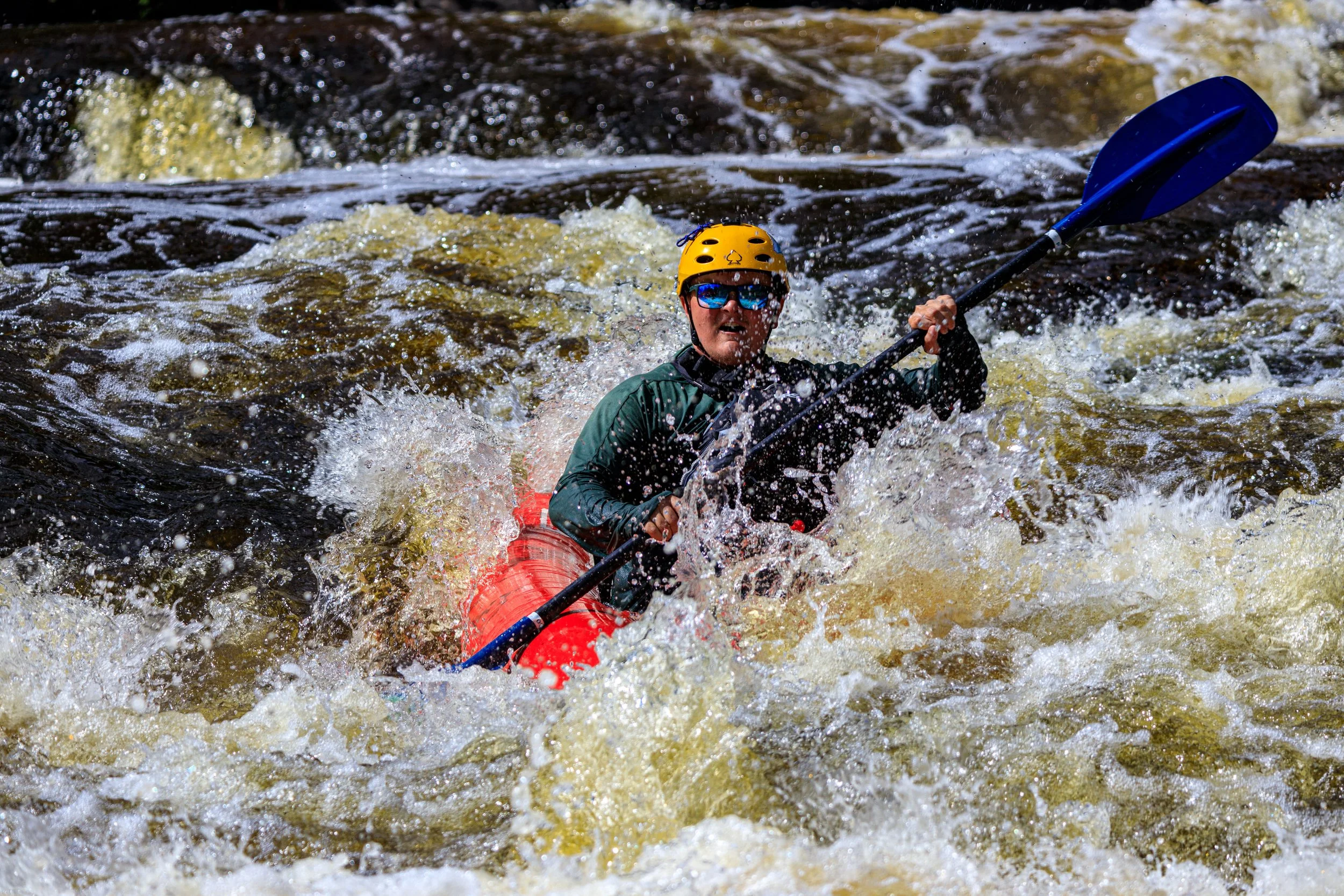
Photo courtesy of American Whitewater
Description
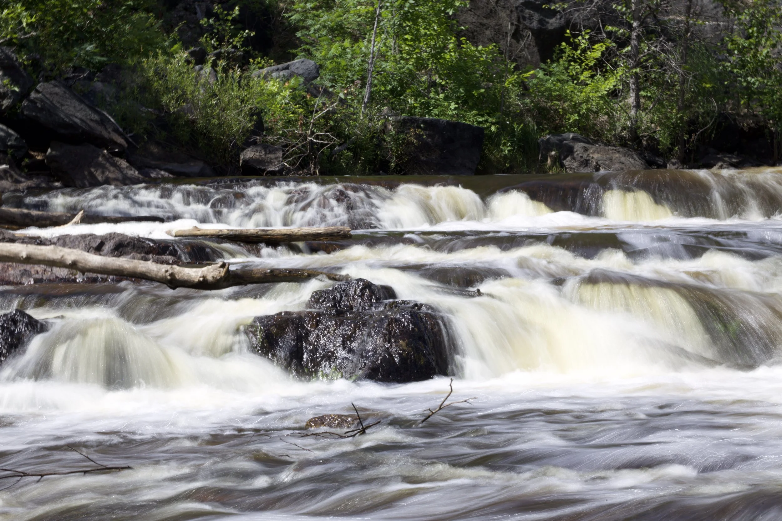
Take Out rapid marks the end of this Sturgeon River section, serving as a critical exit point for paddlers completing the Hickey Creek to Hwy. 41 run. The rapid itself appears to have minimal technical challenges, but boaters should be aware of potential debris or strainers near the takeout area and carefully scout their exit strategy.
Location
View Full Run
B) Hickey Creek to Hwy.41 (5.7 miles)
Sturgeon (Baraga)
II(III)
5.5 mi
Current Conditions
5-Day Forecast
Whitewater data from
American Whitewater
American Whitewater