Take-out
WI
Take Out
White (Bayfield/Ashland) - B) Hwy. 112: Dam to Powerhouse (0.25-0.43 mile) (WI)
Gauge Conditions
Runnable: 250.0 – 5,000.0 CFS
Likely too low for good boating.
Data from American Whitewater & USGS
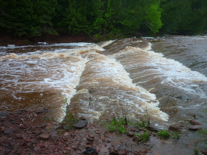
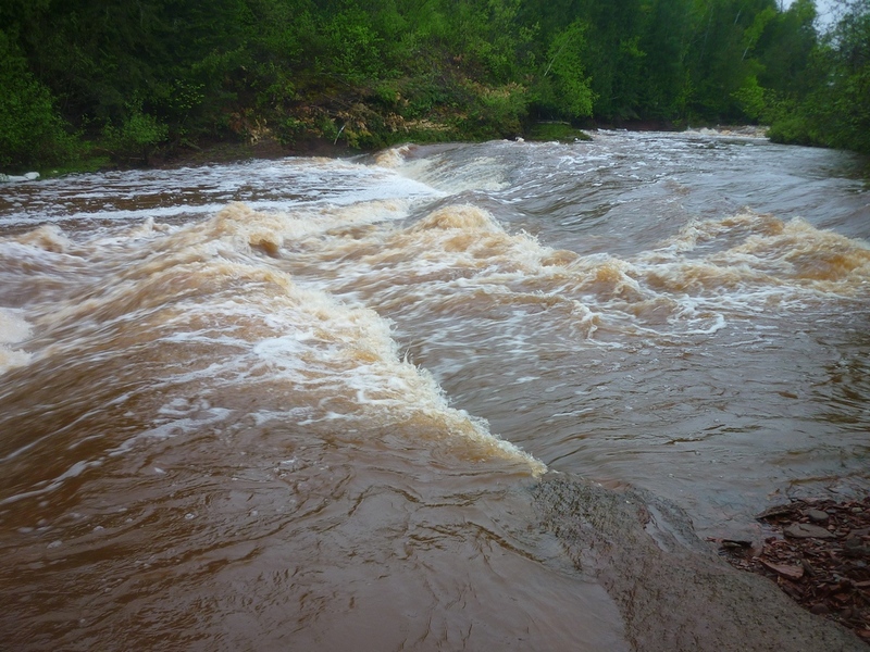
Photo
Photo courtesy of American Whitewater
Description
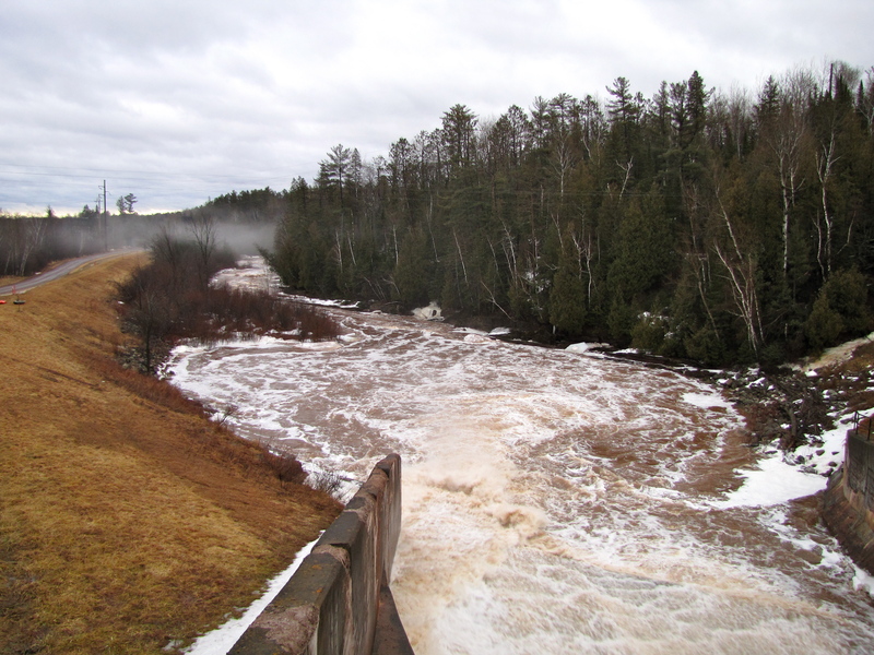
Take Out rapid is located in a short, technical section between a dam and powerhouse, requiring precise navigation through a potentially constricted channel. While specific difficulty ratings are not definitively established, paddlers should anticipate potential hydraulic challenges and carefully scout the rapid's features before attempting a run. Close attention to water levels and potential debris near the dam and powerhouse structures is recommended.
Location

View Full Run
B) Hwy. 112: Dam to Powerhouse (0.25-0.43 mile)
White (Bayfield/Ashland)
II-III
0.2 mi
Current Conditions
5-Day Forecast
Whitewater data from
American Whitewater
American Whitewater