Gauge Conditions
Runnable: ? – ? CFS
Approximate - nearest available gauge. Use as general reference only.
Data from American Whitewater & USGS
Photo

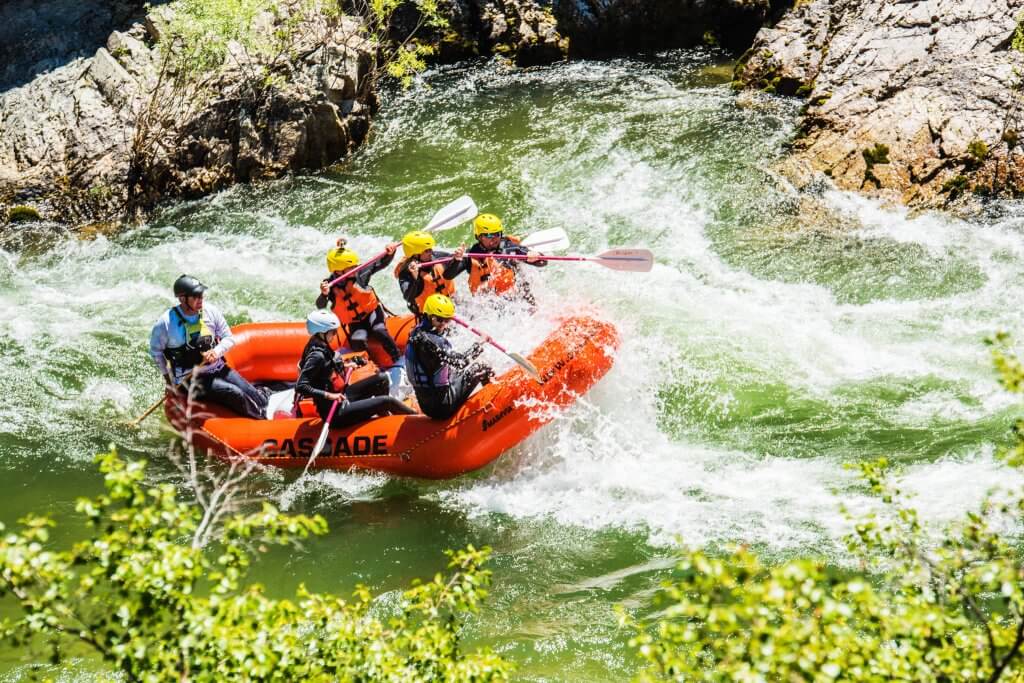
Photo courtesy of American Whitewater
Description
Take Out rapid on Planter Creek's Highway 519 to Jackson Creek section presents limited information about its specific characteristics. Without clear difficulty rating or detailed river description, paddlers should approach with caution and scout the rapid thoroughly before attempting navigation. Local knowledge and current river conditions will be critical for safe passage through this section.
Location
View Full Run
B) Hwy.519 to conf.w.Jackson Creek (2.2 miles)
Planter Creek
II-III+
1.9 mi
Current Conditions
5-Day Forecast
Whitewater data from
American Whitewater
American Whitewater