Gauge Conditions
Runnable: ? – ? CFS
Approximate - nearest available gauge. Use as general reference only.
Data from American Whitewater & USGS
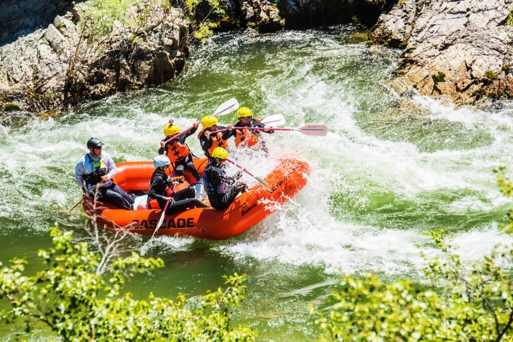
Photo
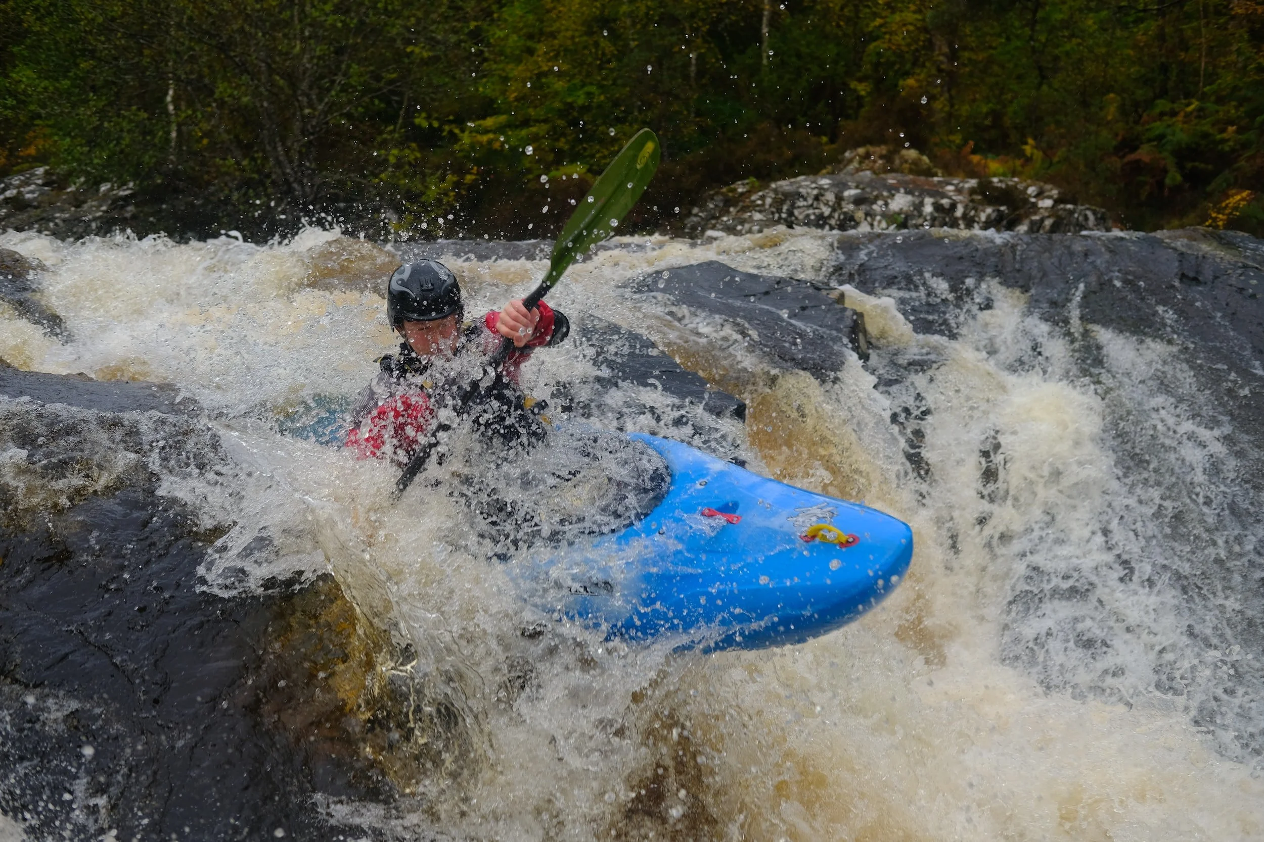
Photo courtesy of American Whitewater
Description
Take Out marks the terminal section before Lake Jocassee, characterized by a broad, flat water transition with potential for submerged debris and variable current conditions. Paddlers should be prepared for potential backwash near the lake interface and maintain situational awareness during the final approach, as water dynamics can shift unpredictably when moving from moving river to lake environment.
Location
Other Rapids on This Run (1)
View Full Run
Base of Upper Falls to Lake Jocassee
Whitewater
II-V+
3.0 mi
Current Conditions
5-Day Forecast
Whitewater data from
American Whitewater
American Whitewater