Gauge Conditions
Runnable: ? – ? CFS
Approximate - nearest available gauge. Use as general reference only.
Data from American Whitewater & USGS
Photo
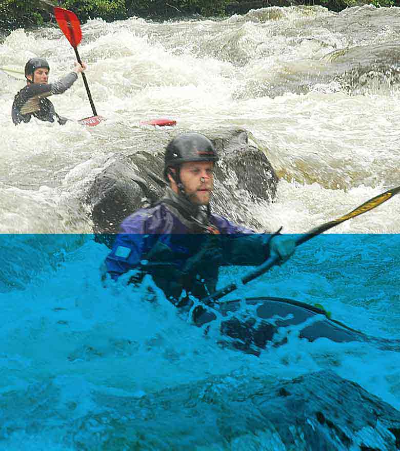
Photo courtesy of American Whitewater
Description
Take Out rapid marks the end of the Ensor Creek run, characterized by a narrow constriction that funnels water through a series of closely spaced boulders, creating unpredictable hydraulics and potential pin hazards. Paddlers should carefully scout the line, being mindful of potential rock traps and the need for precise maneuvering to avoid getting wedged between obstacles. At low water levels, the rapid can become particularly technical, requiring careful route selection and skilled boat control.
Location
Other Rapids on This Run (1)
View Full Run
Baxter Road to Mine Lick Creek
Ensor Creek
IV(V)
1.9 mi
Current Conditions
5-Day Forecast
Whitewater data from
American Whitewater
American Whitewater