Gauge Conditions
Runnable: ? – ? CFS
Approximate - nearest available gauge. Use as general reference only.
Data from American Whitewater & USGS
Photo
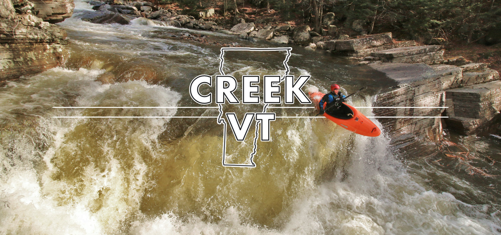
Photo courtesy of American Whitewater
Description
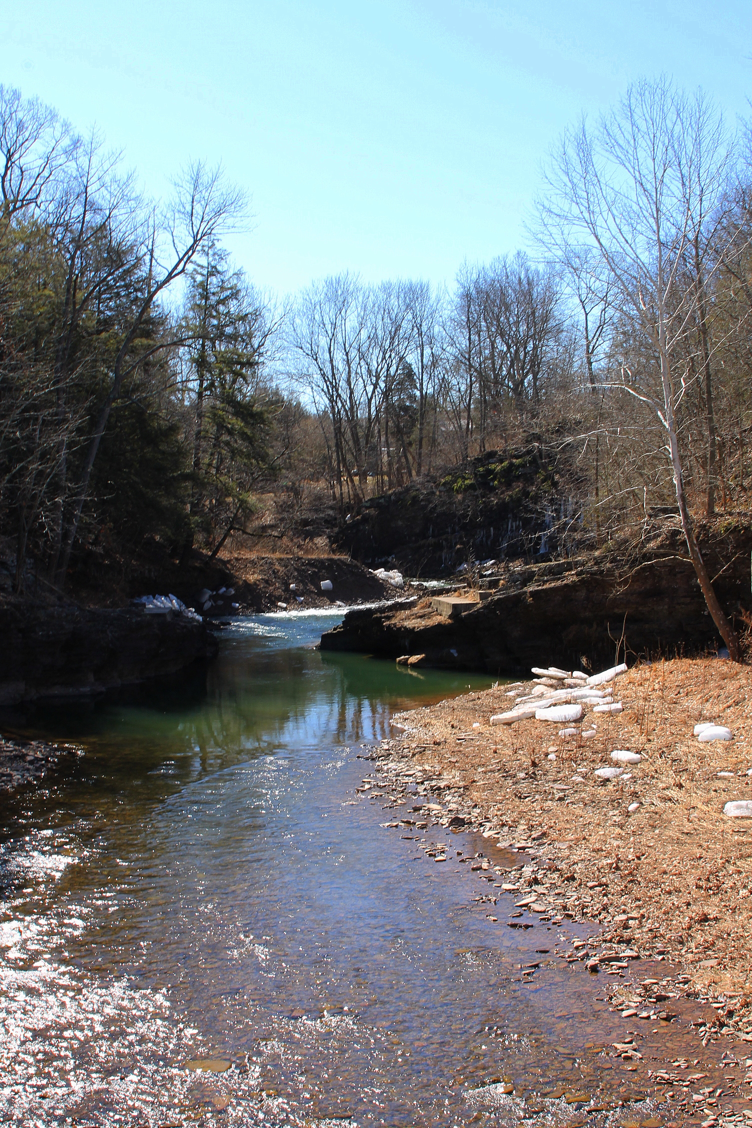
Take Out marks the end of the Bear Gap run on Roaring Creek's South Branch, characterized by a complex boulder field requiring precise maneuvering through tight channels. Paddlers must navigate carefully to avoid potential pin spots and hidden underwater obstacles, with the rapid demanding technical boat control and quick route selection in a relatively confined space.
Location
Other Rapids on This Run (1)
View Full Run
Bear Gap (T309) to Roaring Creek
Roaring Creek, S. Branch
I-III
6.2 mi
Current Conditions
5-Day Forecast
Whitewater data from
American Whitewater
American Whitewater