Take-out
KY
Take Out
Floyds Fork of the Salt River - Beckley Creek Park to Cane Run Access (10.6 miles) (KY)
Gauge Conditions
Runnable: 35.0 – 2,000.0 CFS
Low level - some portaging/dragging; routing may require careful navigation along steep stream banks.
Data from American Whitewater & USGS
Photo
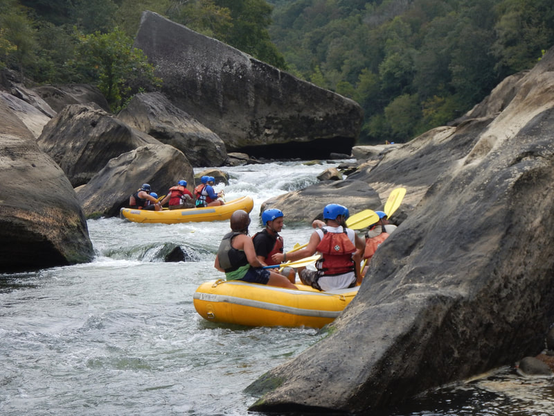
Photo courtesy of American Whitewater
Description
Take Out marks the end of this scenic river section, characterized by a straightforward exit point with minimal technical challenges. Paddlers should be aware of potential shallow areas and scattered debris near the shoreline, requiring careful navigation during lower water levels. The access point provides a convenient transition for boaters completing the Beckley Creek Park to Cane Run segment of Floyds Fork.
Location
Other Rapids on This Run (1)
View Full Run
Beckley Creek Park to Cane Run Access (10.6 miles)
Floyds Fork of the Salt River
I
10.6 mi
Current Conditions
5-Day Forecast
Whitewater data from
American Whitewater
American Whitewater