Gauge Conditions
Runnable: ? – ? CFS
Approximate - nearest available gauge. Use as general reference only.
Data from American Whitewater & USGS
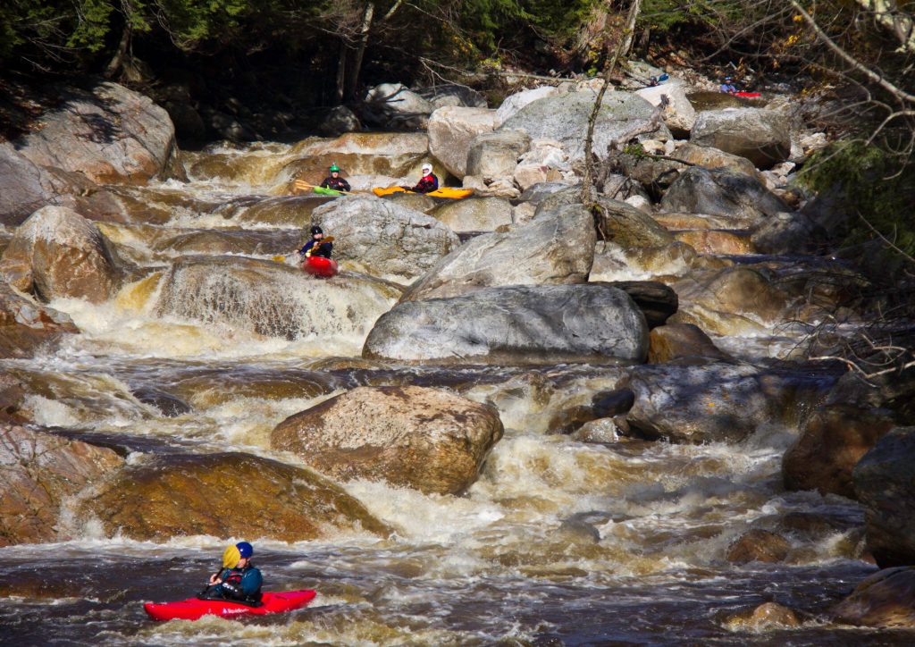
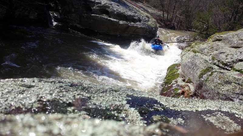
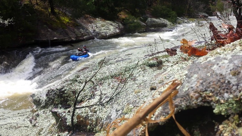
Photo

Photo courtesy of American Whitewater
Description
Take Out rapid marks the conclusion of the Bell Smith Springs run, signaling the end of the paddling section with potential shallow water and rock obstacles. While difficulty is unclassified, paddlers should be prepared for potential route-finding challenges and potential boat extraction points near the takeout zone.
Location
Other Rapids on This Run (4)
View Full Run
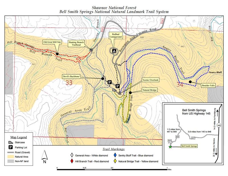
Bell Smith Springs (1.4 miles)
Bay Creek, Hill Branch
II-III
1.4 mi
Current Conditions
5-Day Forecast
Whitewater data from
American Whitewater
American Whitewater