Gauge Conditions
Runnable: 1,000.0 – 2,000.0 CFS
Very rough indicator that there are boatable flows in the area
Data from American Whitewater & USGS
Photo
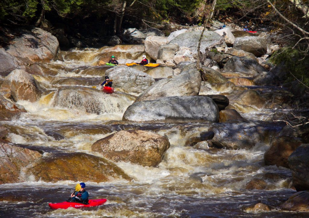
Photo courtesy of American Whitewater
Description
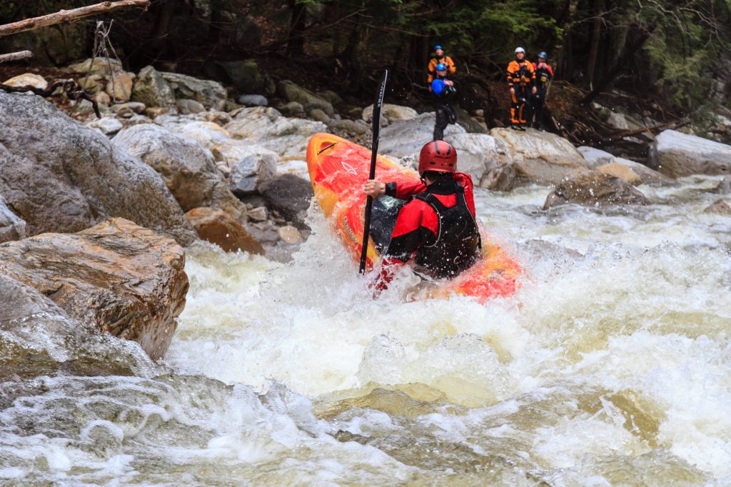
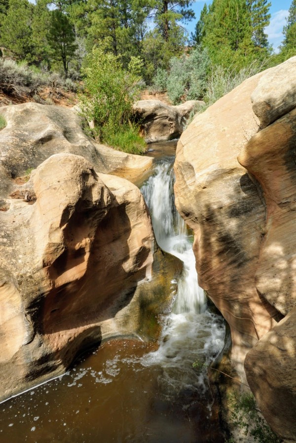
Take Out marks the transition from the big slide to Lower Boulder Creek Falls, featuring a complex and potentially hazardous series of hydraulics and rock formations that demand precise boat control and line selection. Paddlers must carefully navigate the congested channel, avoiding undercut rocks and potentially recirculating holes that can quickly compromise boat positioning and safety.
Location
Other Rapids on This Run (4)
View Full Run
Big slide to Lower Boulder Creek Falls
Boulder Creek
IV-V
0.6 mi
Current Conditions
5-Day Forecast
Whitewater data from
American Whitewater
American Whitewater