Gauge Conditions
Runnable: ? – ? CFS
Approximate - nearest available gauge. Use as general reference only.
Data from American Whitewater & USGS
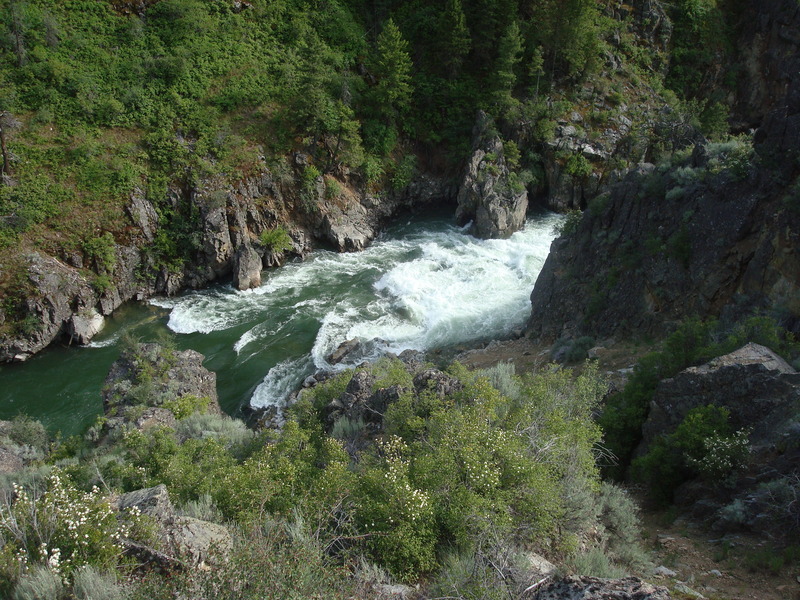
Photo
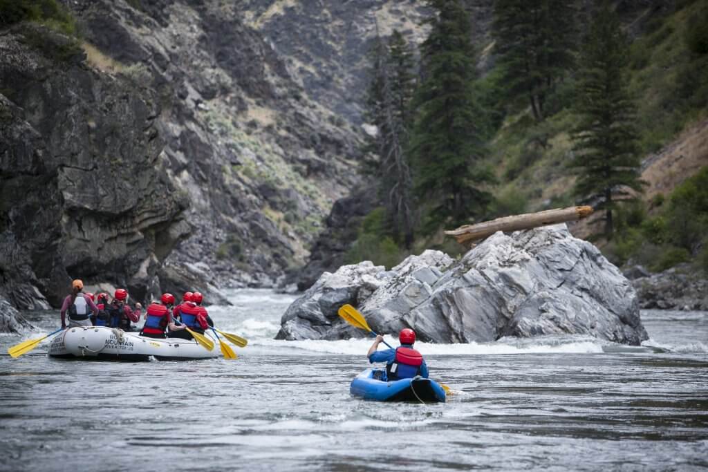
Photo courtesy of American Whitewater
Description
Take Out rapid marks the end of this Blackfoot River section, featuring a potential river-wide ledge that can create recirculating hydraulics at certain water levels. Paddlers should carefully scout the exit point and be prepared for potential obstacles or current shifts near the takeout area, especially during high water conditions.
Location
Other Rapids on This Run (1)
View Full Run
Blackfoot Dam to Cutthroat Creek Campground
Blackfoot
II
10.4 mi
Current Conditions
5-Day Forecast
Whitewater data from
American Whitewater
American Whitewater