Gauge Conditions
Runnable: 200.0 – 1,300.0 CFS
Flow range for best boatability uncertain. Please help your fellow boaters with a comment or report.
Data from American Whitewater & USGS
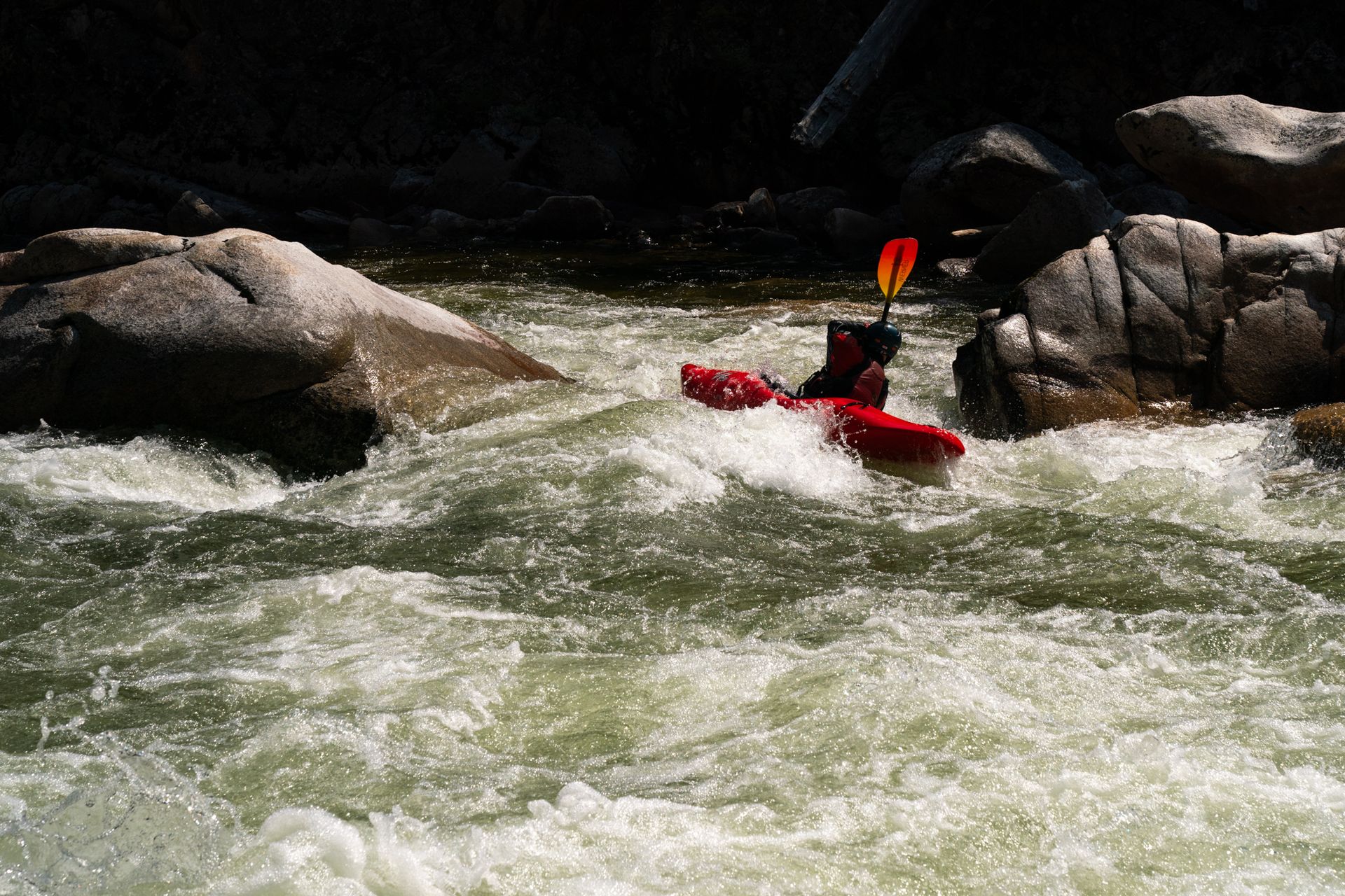
Photo
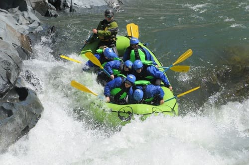
Photo courtesy of American Whitewater
Description
The Take Out rapid marks the end of this section of the Tolt's South Fork, potentially featuring complex current flows and potential hazards as paddlers approach the confluence with the North Fork. Navigators should be prepared for potential debris, shifting water dynamics, and the need for precise boat control in the transition zone where the river channels merge.
Location
Other Rapids on This Run (1)
View Full Run
Bridge to confluence with N. Fork Tolt
Tolt, S. Fork
V
6.8 mi
Current Conditions
5-Day Forecast
Whitewater data from
American Whitewater
American Whitewater