Gauge Conditions
Runnable: ? – ? CFS
Approximate - nearest available gauge. Use as general reference only.
Data from American Whitewater & USGS
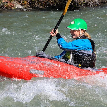
Photo
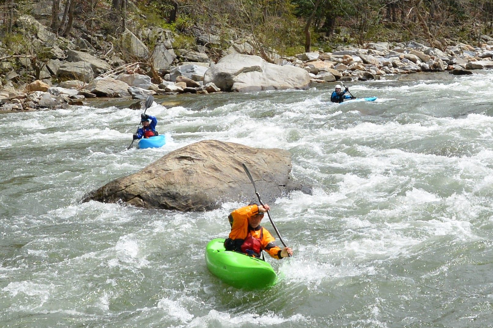
Photo courtesy of American Whitewater
Description
Take Out marks the terminus of the Brushy Creek run, signaling the end of the paddling section near Forest Service Road 255. While limited information is available about specific technical features, paddlers should be prepared for potential takeout logistics and potential terrain challenges when exiting the river at this point.
Location
Other Rapids on This Run (1)
View Full Run
Brushy Lake to FS 255
Brushy Creek
I(II)
7.1 mi
Current Conditions
5-Day Forecast
Whitewater data from
American Whitewater
American Whitewater