Gauge Conditions
Runnable: ? – ? CFS
Approximate - nearest available gauge. Use as general reference only.
Data from American Whitewater & USGS
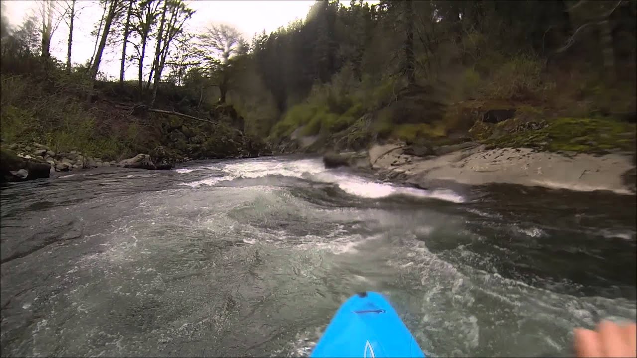
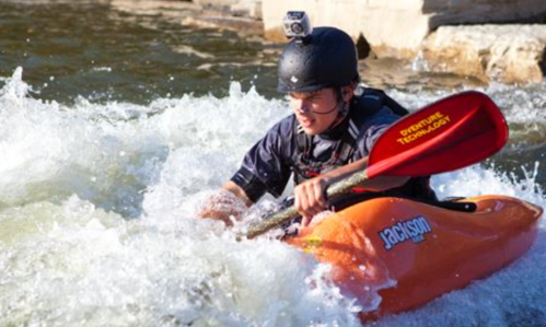
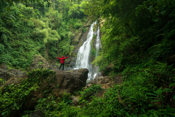
Photo
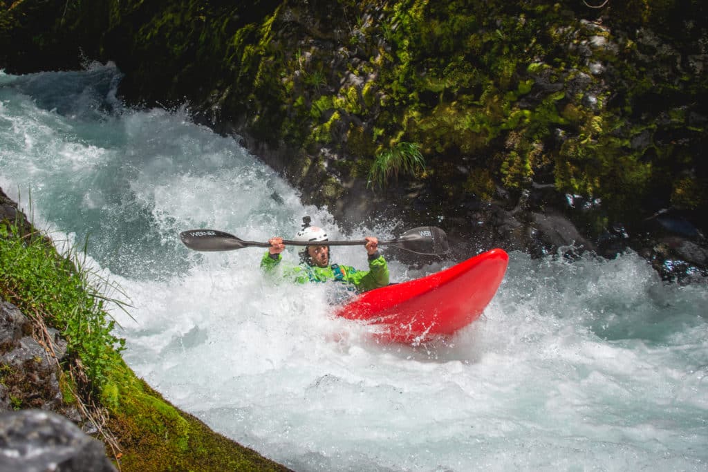
Photo courtesy of American Whitewater
Description
Take Out rapid offers a straightforward descent with minimal technical challenges, though paddlers should remain alert for potential debris and submerged obstacles. The rapid's approach and exit are relatively clean, but water levels can dramatically alter the character of the run, requiring careful scouting and route selection. Local knowledge is recommended to navigate any seasonal variations or hidden hazards.
Location
Other Rapids on This Run (6)


View Full Run
Buck Creek Rd. to 7/10 MI N. of Hwy. 2 (3.4 miles)
Buck Creek
II-III+
3.3 mi
Current Conditions
5-Day Forecast
Whitewater data from
American Whitewater
American Whitewater