Gauge Conditions
Data from American Whitewater & USGS
Photo
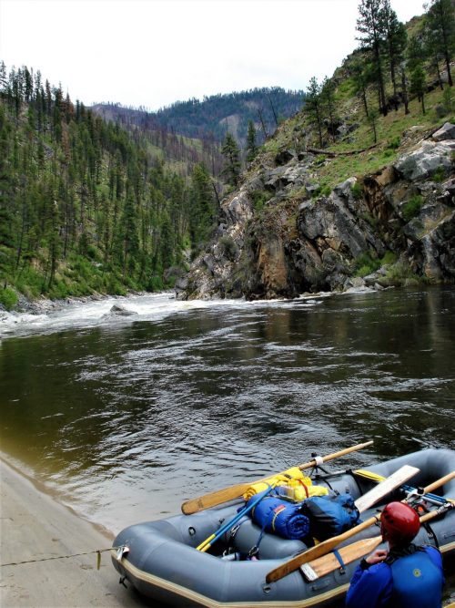
Photo courtesy of American Whitewater
Description
Take Out rapid marks the end of the Bully Creek run, typically signaling the conclusion of the paddling section near Highway 13. While specifics are limited, boaters should be prepared for potential river debris, gradient changes, or takeout logistics that could impact navigation. Local beta and recent river condition reports are recommended for current insights.
Location
Other Rapids on This Run (1)

View Full Run
Bully Creek to Highway 13
Clearwater, S. Fork
IV
5.6 mi
Current Conditions
5-Day Forecast
Whitewater data from
American Whitewater
American Whitewater