Gauge Conditions
Runnable: ? – ? CFS
Approximate - nearest available gauge. Use as general reference only.
Data from American Whitewater & USGS
Photo
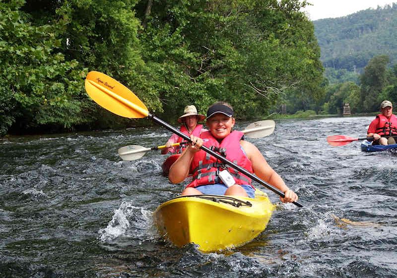
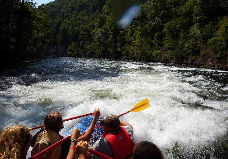
Photo courtesy of American Whitewater
Description
Take Out rapid marks the confluence of Bumbee Creek and Mapleslush Branch, featuring a complex boulder garden with multiple potential lines and significant route-finding challenges. Paddlers must carefully navigate between closely spaced rocks and potential submerged obstacles, with the primary line requiring precise maneuvering to avoid potential pin or entrapment hazards.
Location
Other Rapids on This Run (1)
View Full Run
Bumbee Creek / Mapleslush Branch Confluence to Piney River
Bumbee Creek
III-IV+(V)
8.1 mi
Current Conditions
5-Day Forecast
Whitewater data from
American Whitewater
American Whitewater