Gauge Conditions
Data from American Whitewater & USGS
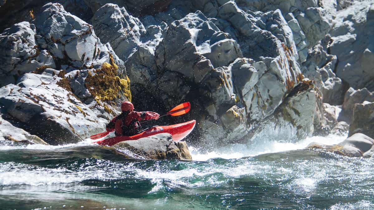
Photo
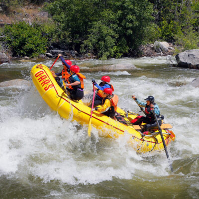
Photo courtesy of American Whitewater
Description
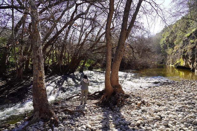
Take Out marks the final challenging section before the Carmel River meets the Pacific Ocean, characterized by potential shifting sandbars and variable conditions depending on seasonal flows. Paddlers should be prepared for potential shallow water, potential surf-like features, and the need to carefully navigate the river's terminus, with extra caution required during low water periods when submerged obstacles may be more prevalent.
Location
Other Rapids on This Run (2)
View Full Run
Carmel Valley to Pacific Ocean
Carmel
I-II
15.0 mi
Current Conditions
5-Day Forecast
Whitewater data from
American Whitewater
American Whitewater