Gauge Conditions
Data from American Whitewater & USGS
Photo
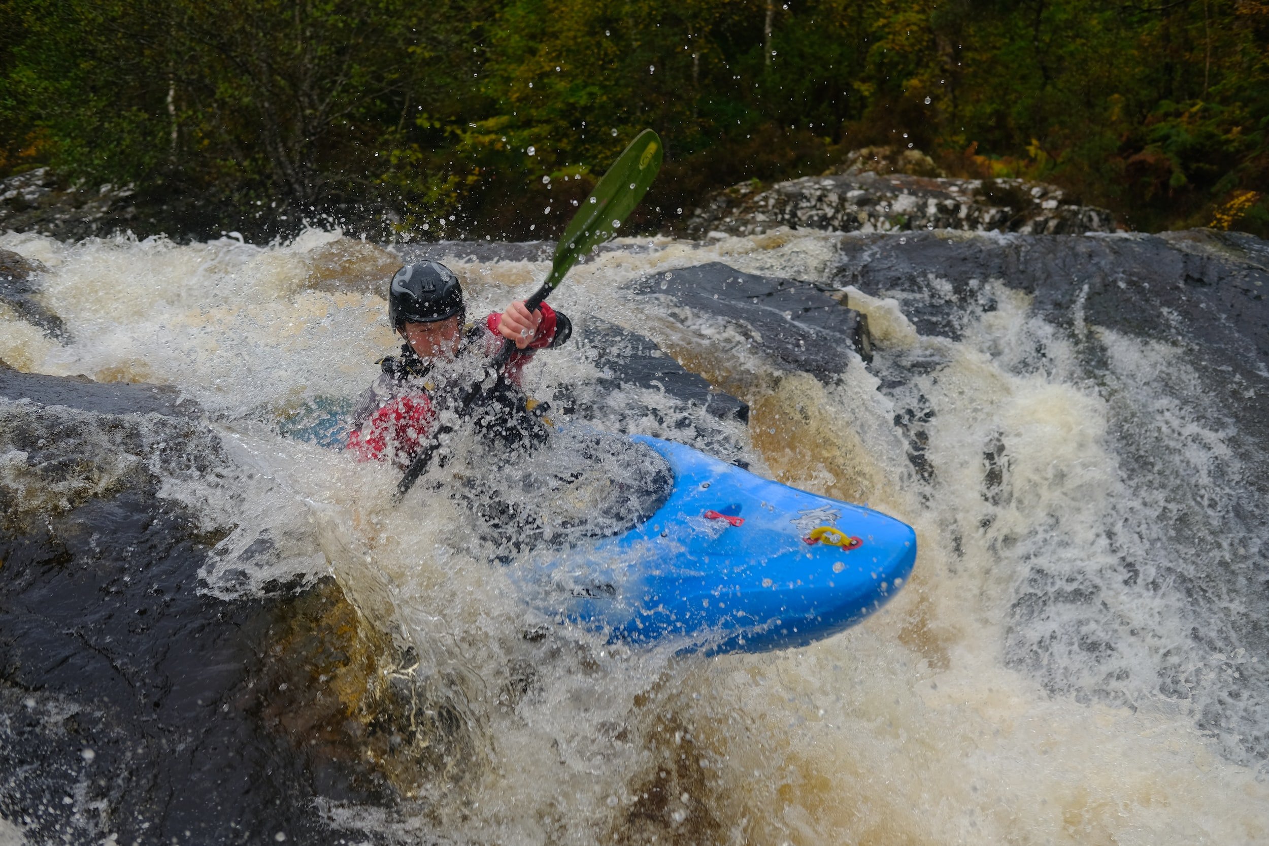
Photo courtesy of American Whitewater
Description
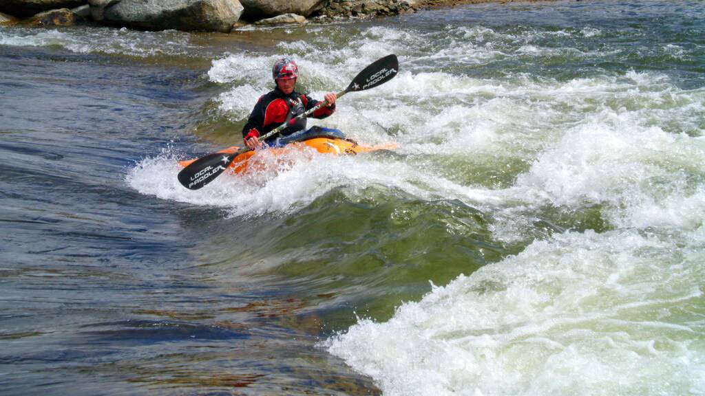
Take Out rapid marks the end of the Rock Creek run, featuring a straightforward exit point with minimal technical challenges. Paddlers should be aware of potential debris and shallow areas near the takeout zone, and maintain situational awareness when approaching the transition from river to shore.
Location
Other Rapids on This Run (1)
View Full Run
Chenal Parkway to Boyle Park (7.2 miles)
Rock Creek
II+
7.5 mi
Current Conditions
5-Day Forecast
Whitewater data from
American Whitewater
American Whitewater