Gauge Conditions
Runnable: ? – ? CFS
Approximate - nearest available gauge. Use as general reference only.
Data from American Whitewater & USGS
Photo
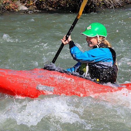
Photo courtesy of American Whitewater
Description
Take Out rapid marks the end of the Chichokna River run, where paddlers transition from wilderness whitewater to the broader Copper River. While specific details about this rapid are limited, its location suggests complex river dynamics and potential navigation challenges typical of Alaskan wilderness rivers. Boaters should be prepared for potential unmarked hazards and shifting conditions at this river junction.
Location
Other Rapids on This Run (2)
View Full Run
Chichokna River to Copper River
Chetaslina
V+
36.0 mi
Current Conditions
5-Day Forecast
Whitewater data from
American Whitewater
American Whitewater