Take-out
WI
Take Out
Black (Mississippi Trib.), E.Fk. - City Point to Black River Forest Campground (23.8 miles) (WI)
Gauge Conditions
Runnable: ? – ? CFS
Approximate - nearest available gauge. Use as general reference only.
Data from American Whitewater & USGS
Photo
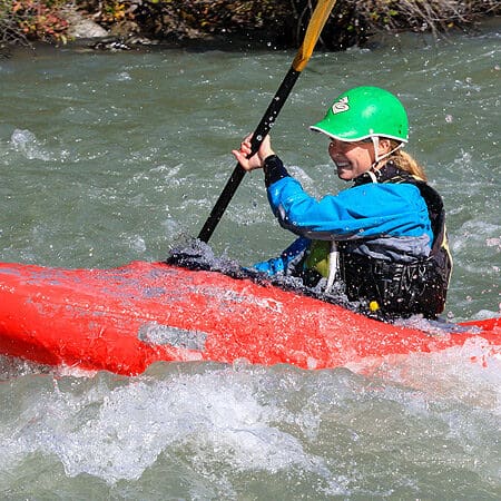
Photo courtesy of American Whitewater
Description
Take Out rapid marks the concluding stretch of this river section, characterized by a wide, relatively straightforward channel with minimal technical challenges. Paddlers should remain alert for potential submerged obstacles and shifting water levels, which can introduce unexpected currents near the river's exit point. While not a high-difficulty rapid, careful navigation is recommended during lower water conditions when rock exposure increases.
Location
Other Rapids on This Run (3)
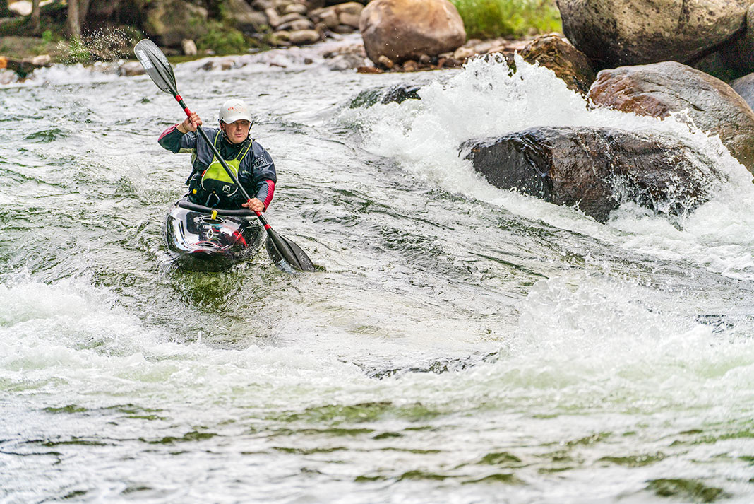
View Full Run
City Point to Black River Forest Campground (23.8 miles)
Black (Mississippi Trib.), E.Fk.
II
15.3 mi
Current Conditions
5-Day Forecast
Whitewater data from
American Whitewater
American Whitewater