Gauge Conditions
Data from American Whitewater & USGS
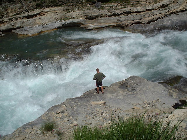
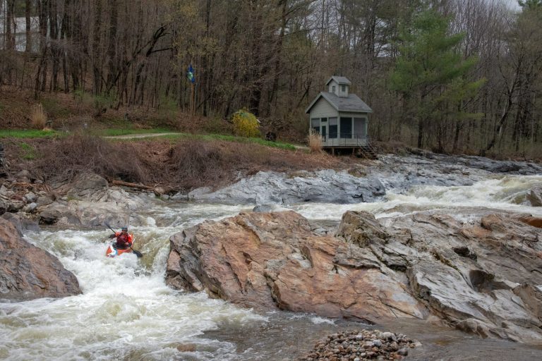
Photo

Photo courtesy of American Whitewater
Description
Take Out marks the end of the Clarendon Springs run, featuring a potentially tricky exit point with limited maneuvering space and potential rock obstacles near the takeout zone. Paddlers should be prepared for a careful approach and potential portage, paying close attention to water levels and potential underwater hazards when exiting the river.
Location
Other Rapids on This Run (2)
View Full Run
Clarendon Springs to W. Rutland
Clarendon River
I-II+(IV)
4.7 mi
Current Conditions
5-Day Forecast
Whitewater data from
American Whitewater
American Whitewater