Gauge Conditions
Runnable: ? – ? CFS
Approximate - nearest available gauge. Use as general reference only.
Data from American Whitewater & USGS
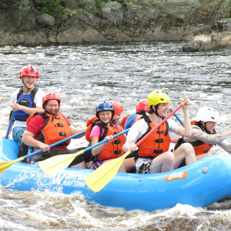
Photo
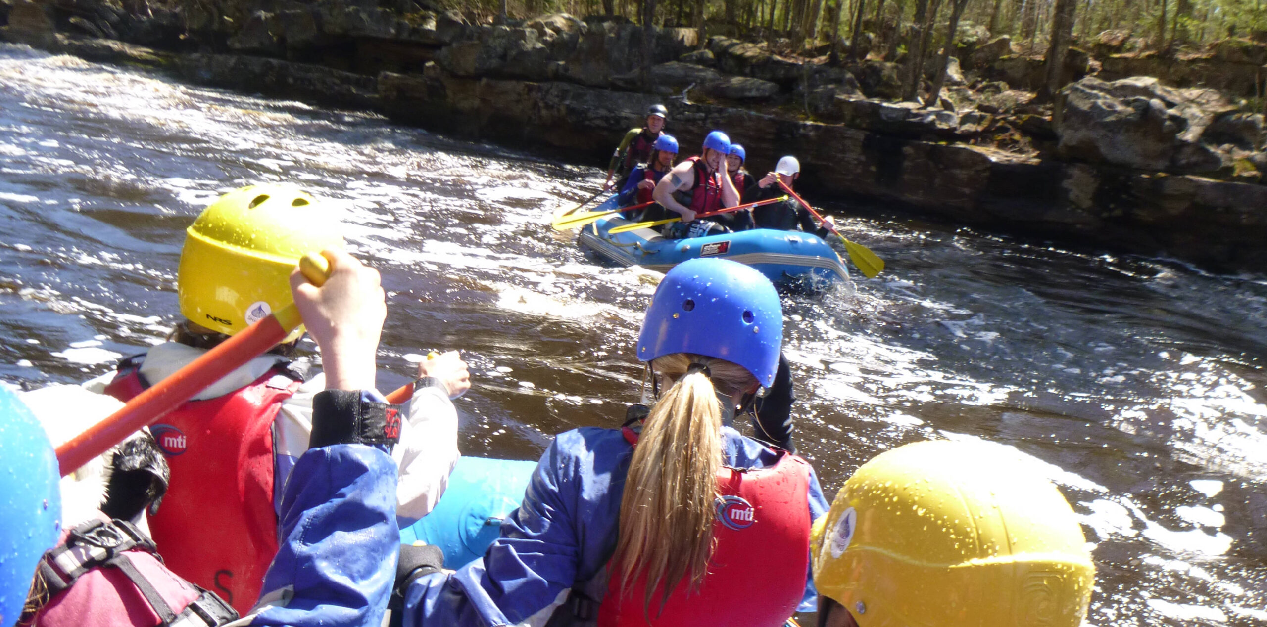
Photo courtesy of American Whitewater
Description
Take Out rapid serves as the exit point for this river section, marking the conclusion of the run near Highway 61. While specifics on difficulty are unclear, paddlers should be prepared for potential transition zones and potential shoreline hazards during takeout. Careful boat positioning and awareness of river conditions are recommended when navigating this final stretch.
Location


View Full Run
Co.Hwy.8 to Hwy.61 (6.66 miles)
Caribou
II-IV(V+)
6.2 mi
Current Conditions
5-Day Forecast
Whitewater data from
American Whitewater
American Whitewater