Gauge Conditions
Data from American Whitewater & USGS
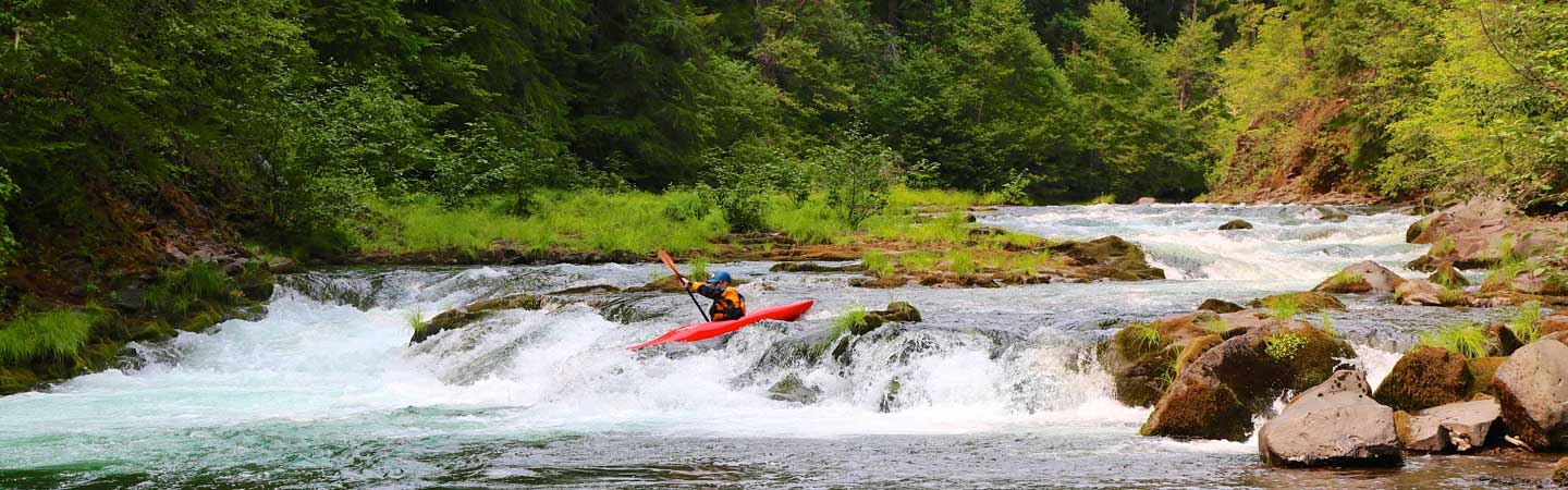
Photo
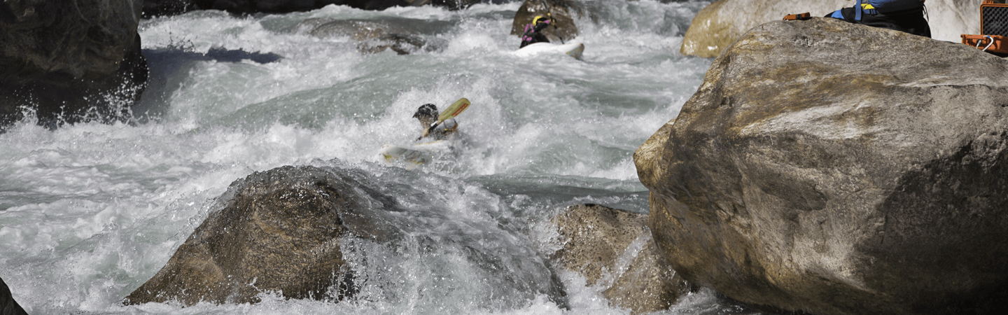
Photo courtesy of American Whitewater
Description
Take Out is a low-water crossing rapid with potential debris and shifting gravel bars that can create unpredictable hydraulics during seasonal flow changes. Paddlers should scout carefully and be prepared for potential strainers or submerged obstacles, particularly during lower water levels when the river channel becomes less defined.
Location
Other Rapids on This Run (1)
View Full Run
County Rd 530 to Hwy 61 (17 miles)
North
I(II)
9.6 mi
Current Conditions
5-Day Forecast
Whitewater data from
American Whitewater
American Whitewater