Gauge Conditions
Runnable: ? – ? CFS
Approximate - nearest available gauge. Use as general reference only.
Data from American Whitewater & USGS
Photo

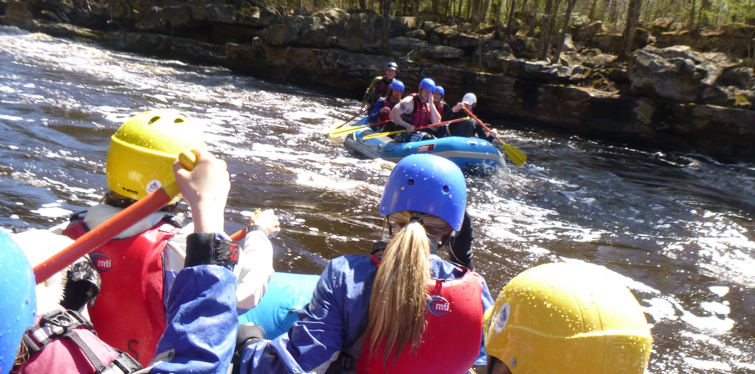
Photo courtesy of American Whitewater
Description
Take Out rapid marks the end of the Stewart River run, featuring a straightforward exit point with minimal technical challenges. Paddlers should be aware of potential shallow areas and scattered rocks near the takeout, which can require careful navigation depending on water levels. While not a complex rapid, attentiveness is crucial to ensure a clean exit from the river section.
Location
Other Rapids on This Run (2)
View Full Run
CR2 to Hwy.61 (4.9 miles)
Stewart
II-IV(V)
3.2 mi
Current Conditions
5-Day Forecast
Whitewater data from
American Whitewater
American Whitewater