Gauge Conditions
Runnable: 300.0 – 1,200.0 CFS
Likely under 150 cfs; Likely too low for decent whitewater.
Data from American Whitewater & USGS
Photo
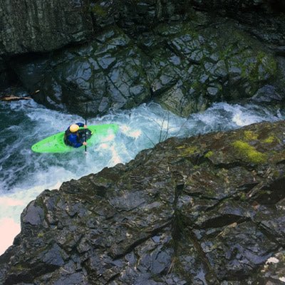
Photo courtesy of American Whitewater
Description
Take Out is the terminal rapid before the Copper River's confluence with the Wisconsin River, marking the end of this short but potentially technical stretch. While specific details about the rapid's features are limited, paddlers should be prepared for potential shallow sections, submerged obstacles, and varying water levels that could impact navigation at the takeout point.
Location
Other Rapids on This Run (2)

View Full Run
CTH.E to Wisconsin River (2.25 miles)
Copper
I-II
2.0 mi
Current Conditions
5-Day Forecast
Whitewater data from
American Whitewater
American Whitewater