Gauge Conditions
Runnable: 1,000.0 – 10,000.0 CFS
Very low, but doable. (At least two worthwhile rapids.)
Data from American Whitewater & USGS
Photo
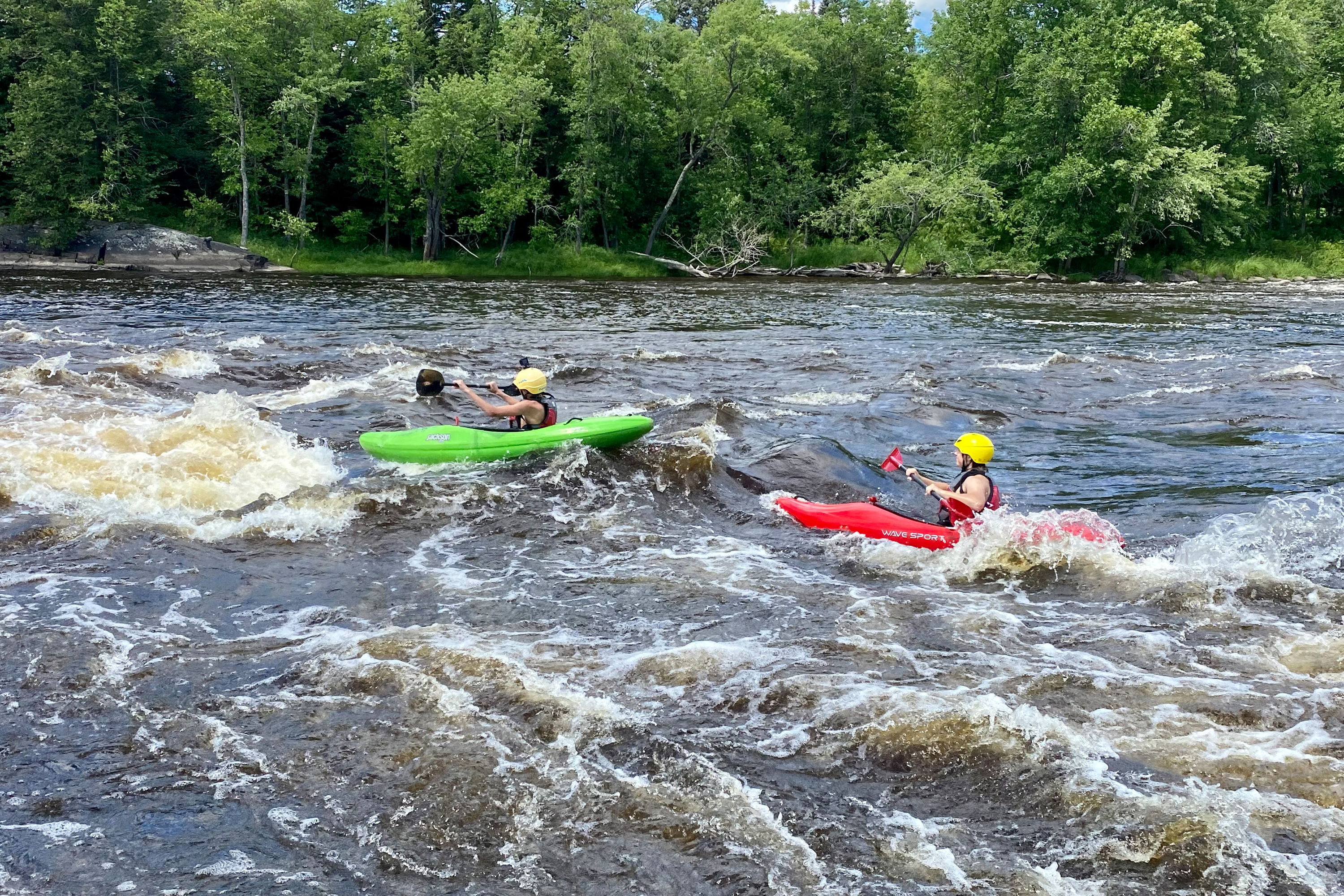
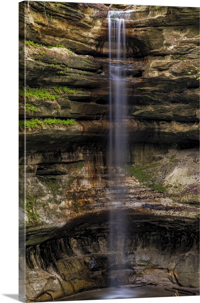
Photo courtesy of American Whitewater
Description
Take Out rapid presents minimal technical challenges on this lower section of the St. Louis River, likely serving more as a transition point between river segments than a significant whitewater feature. Paddlers should maintain situational awareness around potential debris or shoreline obstacles, particularly during variable water levels or seasonal flow changes.
Location
Other Rapids on This Run (6)

View Full Run
D) Hwy.61 (Scanlon) to CR210 (Thomson Reservoir) (3.4 miles)
St. Louis
II-III
3.2 mi
Current Conditions
5-Day Forecast
Whitewater data from
American Whitewater
American Whitewater