Gauge Conditions
Data from American Whitewater & USGS
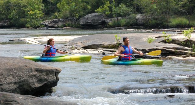
Photo
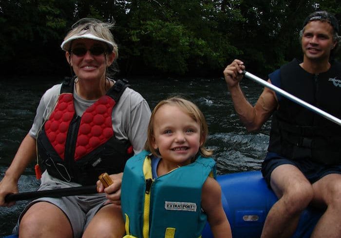
Photo courtesy of American Whitewater
Description
Take Out marks the end of the run at Dennis Cove, serving as a transition point where paddlers exit the river. While details are limited, careful navigation is likely required to safely reach the takeout point without unexpected obstacles or hazards.
Location
Other Rapids on This Run (1)
View Full Run
Dennis Cove to Hampton
Doe, Laurel Fork
IV-V(V+)
4.5 mi
Current Conditions
5-Day Forecast
Whitewater data from
American Whitewater
American Whitewater