Gauge Conditions
Runnable: ? – ? CFS
Approximate - nearest available gauge. Use as general reference only.
Data from American Whitewater & USGS
Photo
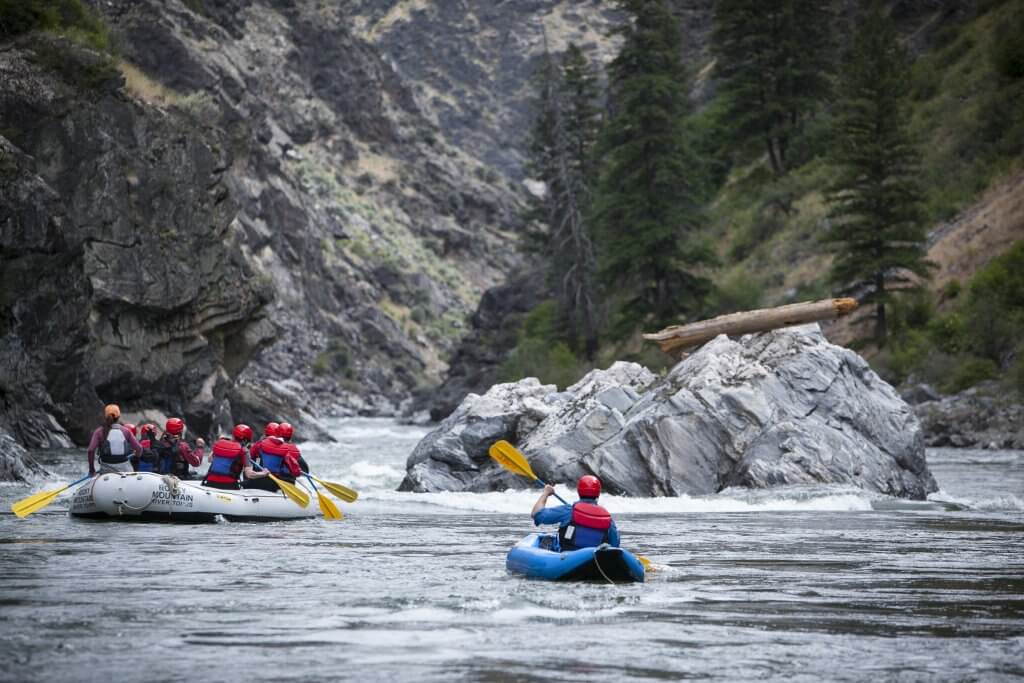
Photo courtesy of American Whitewater
Description
Take Out marks the terminal point of this river section, characterized by a flat, technical exit requiring precise navigation through scattered rocks and potential debris. Paddlers should be alert for potential channel shifts and remain cautious of shallow areas that can create unexpected pin hazards during low water conditions.
Location
Other Rapids on This Run (1)
View Full Run
Diversion to Marsh Creek
Portneuf
I-V
18.2 mi
Current Conditions
5-Day Forecast
Whitewater data from
American Whitewater
American Whitewater