Gauge Conditions
Runnable: ? – ? CFS
Approximate - nearest available gauge. Use as general reference only.
Data from American Whitewater & USGS
Photo
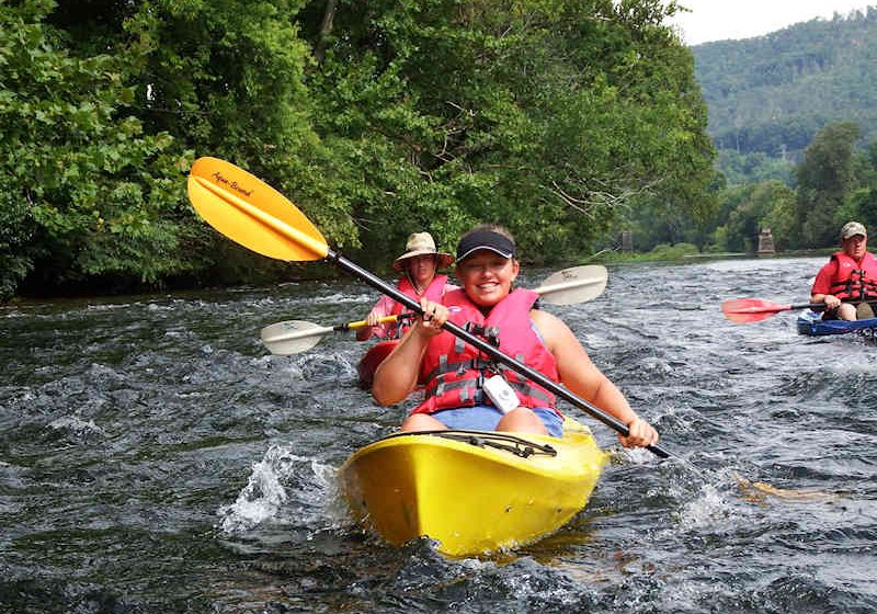
Photo courtesy of American Whitewater
Description
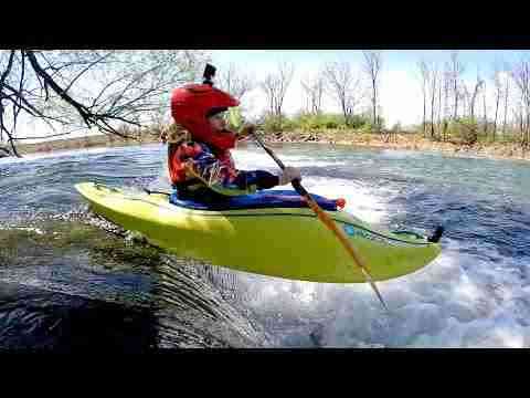
Take Out serves as the terminal rapid of this river section, marking the conclusion of the run with a straightforward but potentially tricky navigation through scattered rock gardens and potential debris. Paddlers should be prepared for potential shallow sections and the need to carefully choose a line that avoids pinning hazards, particularly during lower water levels when rocks become more exposed.
Location
Other Rapids on This Run (3)

View Full Run
East Branch Rd to Hwy.45 (7.5 miles)
Ontonagon, E.Br.
II-III
7.6 mi
Current Conditions
5-Day Forecast
Whitewater data from
American Whitewater
American Whitewater