Gauge Conditions
Data from American Whitewater & USGS
Photo
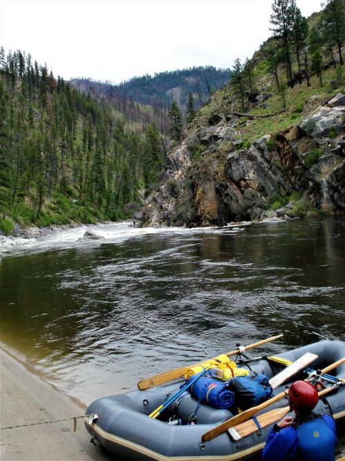
Photo courtesy of American Whitewater
Description
Take Out rapid marks the terminus of this river section, requiring careful navigation through a narrow constriction with potential for pinning or strainers. Paddlers should be alert for debris and potential shallow rock gardens near the river's edge, with the most straightforward line running center-right to avoid potential hydraulic features.
Location
Other Rapids on This Run (1)

View Full Run
East Fork Creek to Trailhead
Shoshone, South Fork
II-IV
11.6 mi
Current Conditions
5-Day Forecast
Whitewater data from
American Whitewater
American Whitewater