Take-out
NC
Take Out
French Broad, East Fork - East Fork Road at Laurel Branch to French Broad River (NC)
Gauge Conditions
Runnable: ? – ? CFS
Approximate - nearest available gauge. Use as general reference only.
Data from American Whitewater & USGS
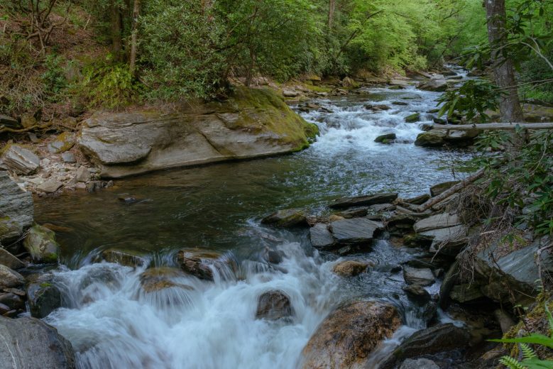
Photo
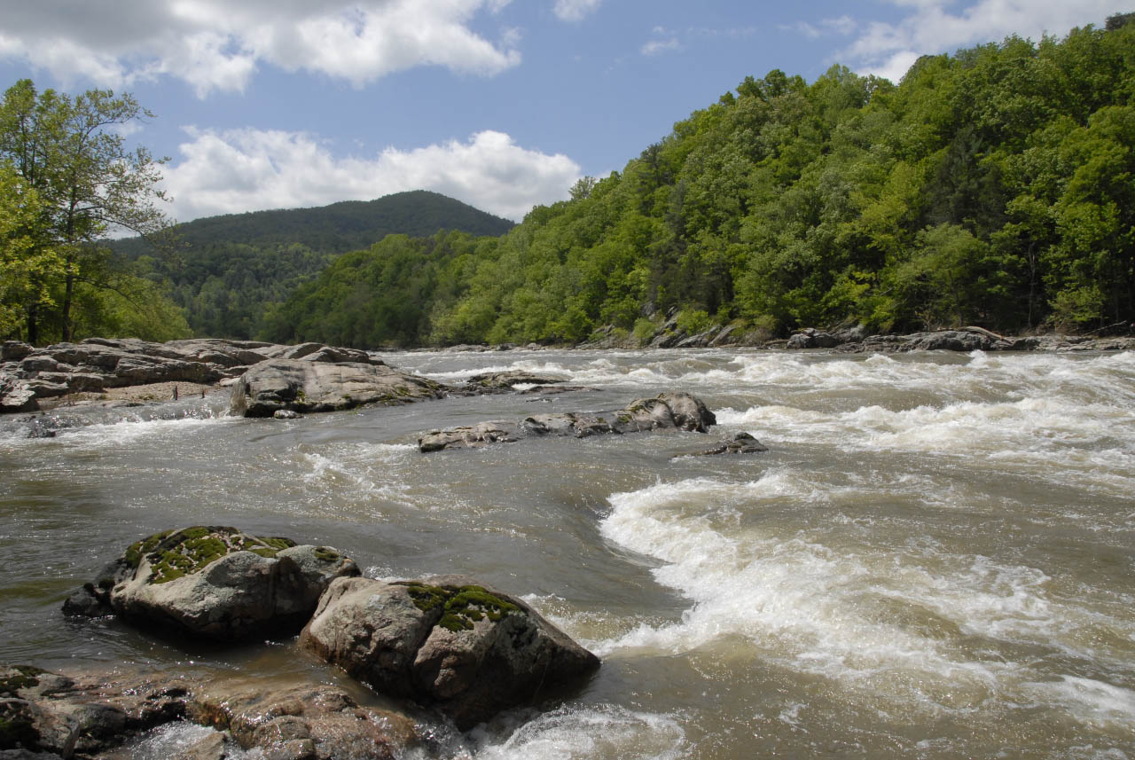
Photo courtesy of American Whitewater
Description
Take Out marks the terminus of the East Fork run, characterized by a transition from narrow, technical whitewater to the broader French Broad River. While specific details are limited, paddlers should be prepared for potential Class II-III features and remain alert for river conditions that may vary with water levels and seasonal changes.
Location
Other Rapids on This Run (3)


View Full Run
East Fork Road at Laurel Branch to French Broad River
French Broad, East Fork
II-IV
5.8 mi
Current Conditions
5-Day Forecast
Whitewater data from
American Whitewater
American Whitewater