Gauge Conditions
Runnable: ? – ? CFS
Approximate - nearest available gauge. Use as general reference only.
Data from American Whitewater & USGS
Photo
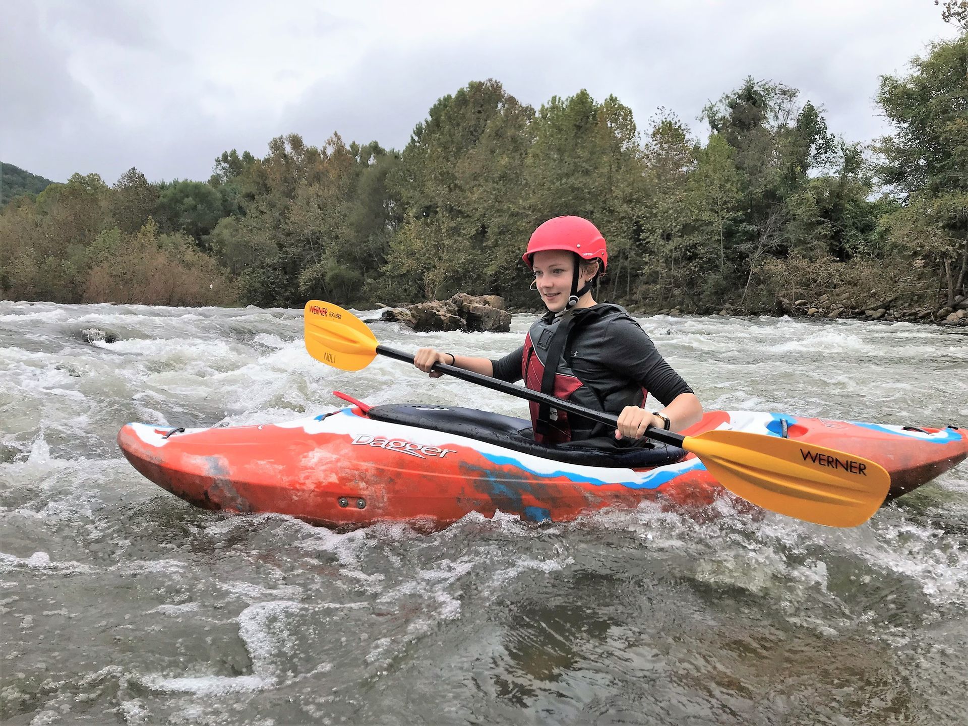
Photo courtesy of American Whitewater
Description
Take Out is a non-navigable section at the end of this creek run, marked by potential debris and a challenging exit point near Elkahatchee Road. Paddlers should be prepared for a potentially complex takeout with limited access and potential obstacles on the riverbank that could complicate boat extraction.
Location
Other Rapids on This Run (1)

View Full Run
Elkahatchee Rd to SR 63
Elkahatchee Creek
II-III
1.2 mi
Current Conditions
5-Day Forecast
Whitewater data from
American Whitewater
American Whitewater