Gauge Conditions
Primary
Runnable: 1,000.0 – 10,000.0 CFS
Data from American Whitewater & USGS
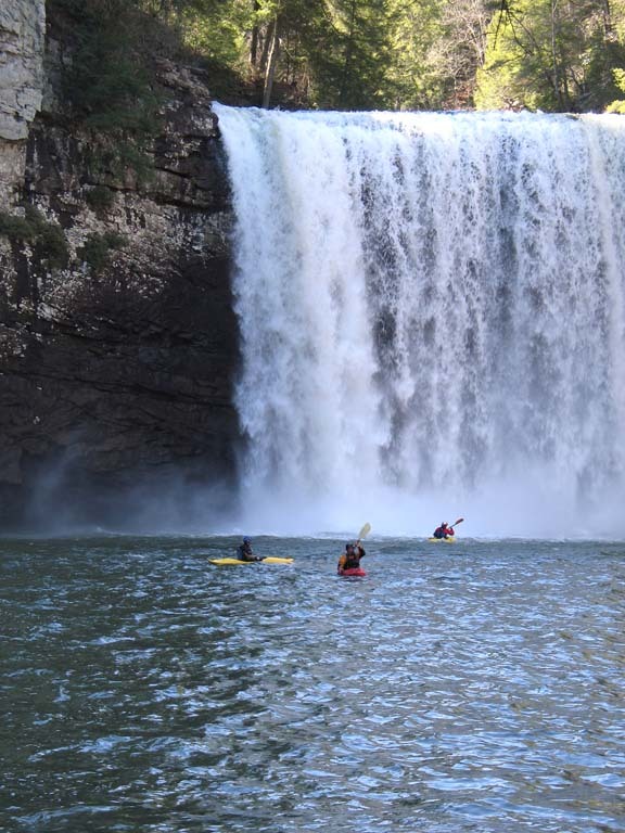
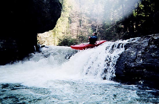
Photo
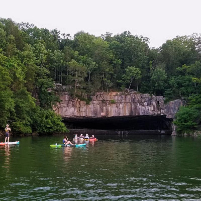
Photo courtesy of American Whitewater
Description
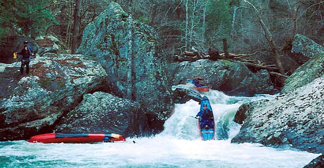
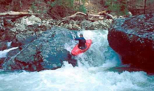
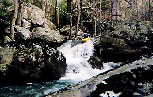
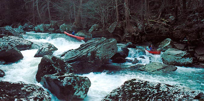
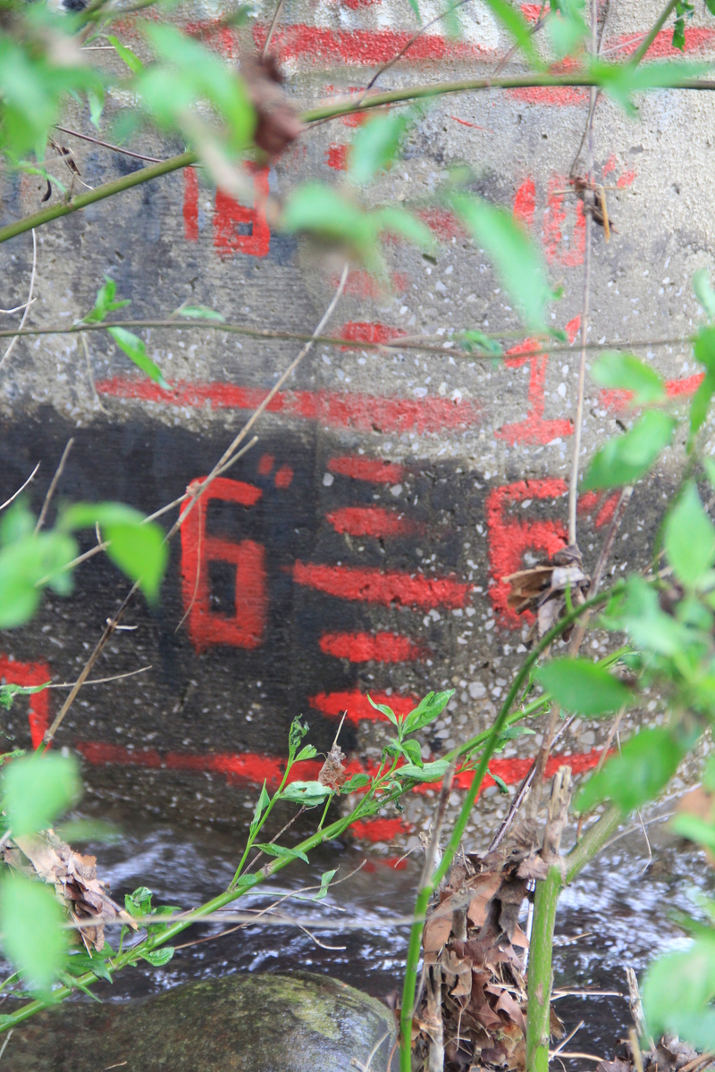
Take Out is a terminal rapid marking the end of the Cane Creek run, characterized by a congested boulder field and potential wood hazards requiring precise boat positioning. Paddlers should carefully scout and potentially portage depending on current water levels and debris conditions, with close attention to potential strainers near the river's exit point.
Location

View Full Run
Fall Creek Falls State Park to Highway 30
Cane Creek
IV-V
7.0 mi
Current Conditions
5-Day Forecast
Whitewater data from
American Whitewater
American Whitewater