Gauge Conditions
Runnable: ? – ? CFS
Approximate - nearest available gauge. Use as general reference only.
Data from American Whitewater & USGS
Photo
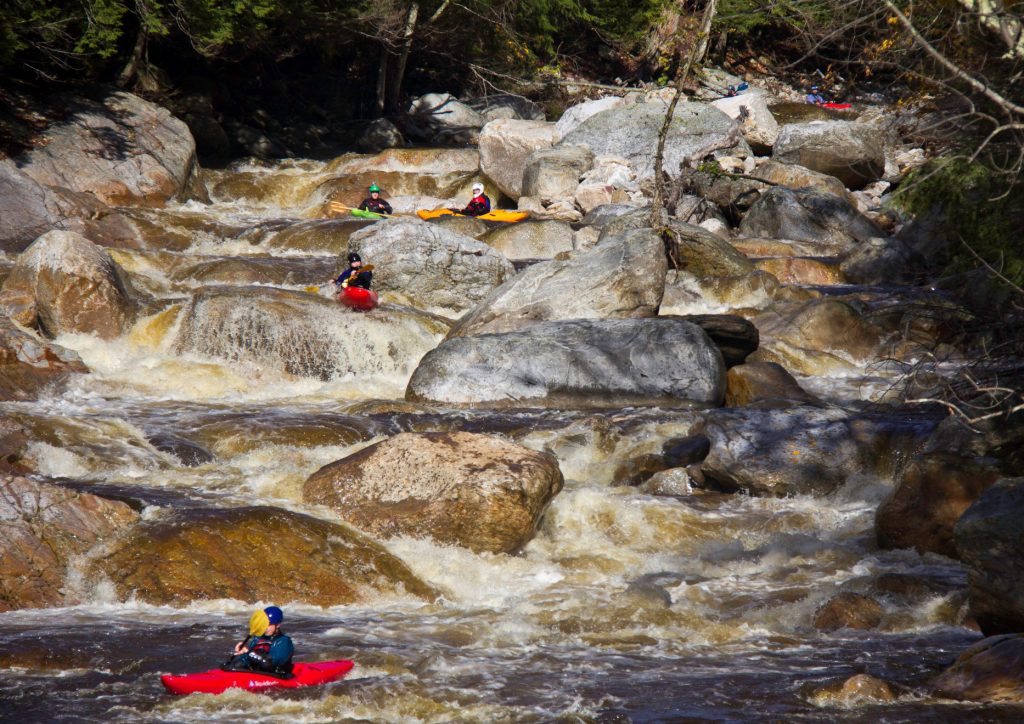
Photo courtesy of American Whitewater
Description
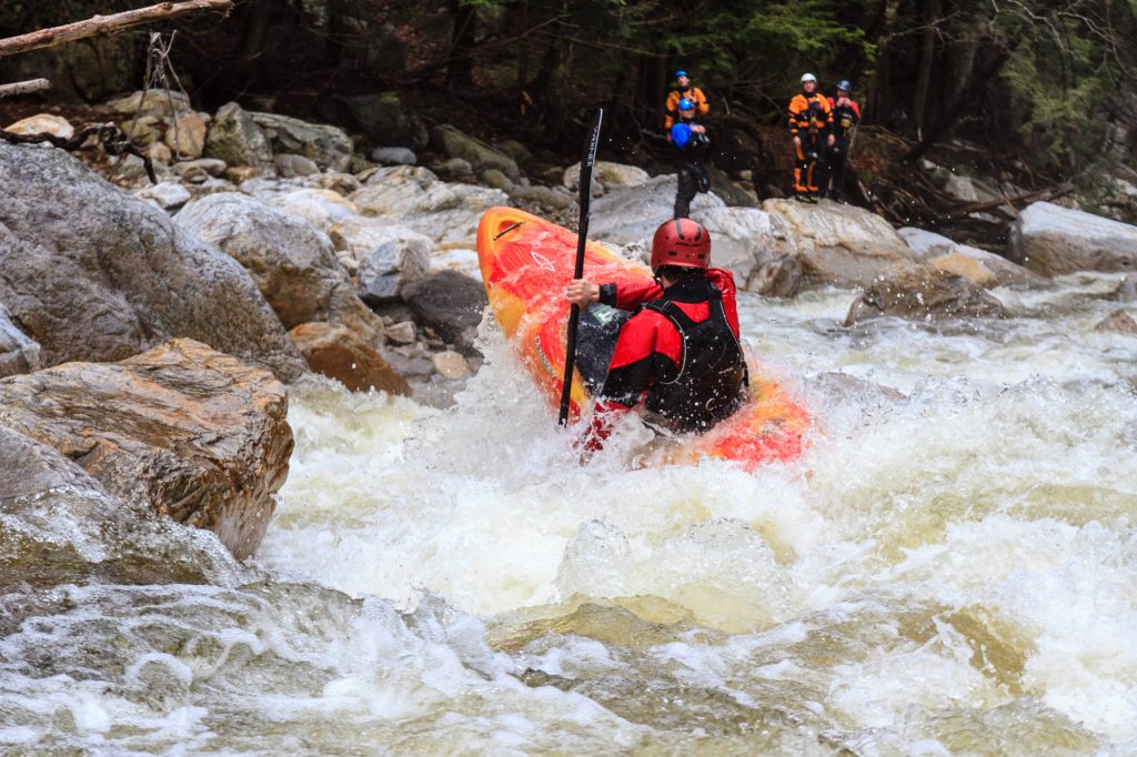
Take Out rapid presents a complex navigation challenge with multiple boulder-choked channels and unpredictable water flow. Paddlers must carefully read the water and choose a precise line to avoid potential pinning hazards, with shifting rocks and potential strainers creating significant technical demands. While detailed difficulty rating is unavailable, experienced boaters should approach with heightened situational awareness and be prepared for dynamic hydraulic conditions.
Location
Other Rapids on This Run (1)
View Full Run
Gallatin Nat. Forest boundary to Boulder R.
Boulder, West
II-III
18.2 mi
Current Conditions
5-Day Forecast
Whitewater data from
American Whitewater
American Whitewater