Take-out
WV
Take Out - Gandy, WV
Cheat, Dry Fork - 1. Dry Fork Rd., 3.3 miles above Gandy, WV to Gandy, WV (WV)
Gauge Conditions
Data from American Whitewater & USGS
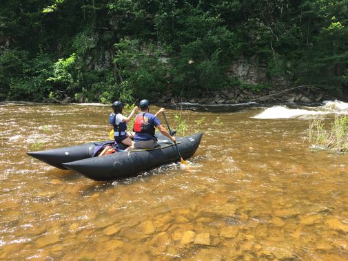
Photo
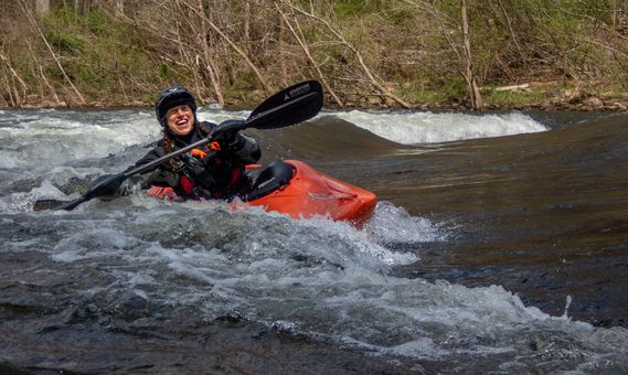
Photo courtesy of American Whitewater
Description
Take Out marks the end of the Dry Fork section, with a straightforward exit point near Gandy that allows paddlers to exit the river safely. While specific challenging features are not detailed, the location serves as a critical transition point for boaters completing this river run. Paddlers should be prepared for standard river takeout procedures and potential terrain variations when exiting the water.
Location
Other Rapids on This Run (1)
View Full Run
1. Dry Fork Rd., 3.3 miles above Gandy, WV to Gandy, WV
Cheat, Dry Fork
II
3.3 mi
Current Conditions
5-Day Forecast
Whitewater data from
American Whitewater
American Whitewater