Gauge Conditions
Runnable: ? – ? CFS
Approximate - nearest available gauge. Use as general reference only.
Data from American Whitewater & USGS
Photo

Photo courtesy of American Whitewater
Description
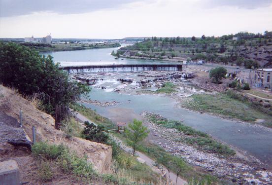
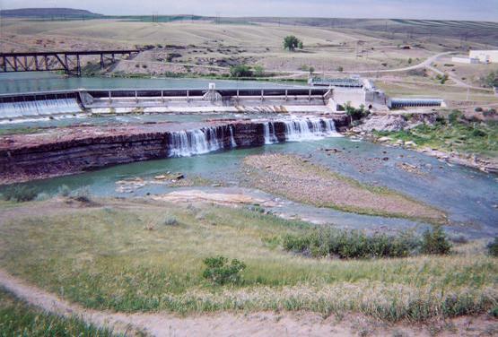
Take Out rapid at Great Falls on the Missouri River presents a complex navigational challenge with multiple potential lines through a constricted, boulder-strewn channel. Paddlers must carefully scout and select a route that avoids potential pinning hazards and navigates the tight technical sections, which can change dramatically with varying water levels. Due to the limited information available, local beta and current river conditions should be thoroughly investigated before attempting this section.
Location
Other Rapids on This Run (3)

View Full Run
Great Falls
Missouri
II(V)
5.8 mi
Current Conditions
5-Day Forecast
Whitewater data from
American Whitewater
American Whitewater