Gauge Conditions
Runnable: ? – ? CFS
Approximate - nearest available gauge. Use as general reference only.
Data from American Whitewater & USGS
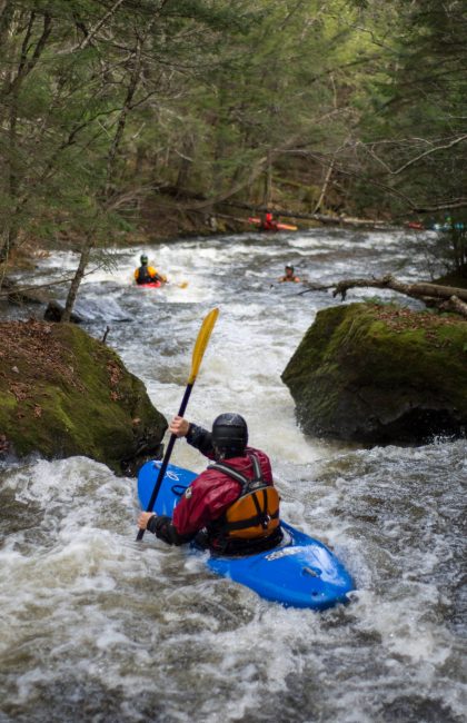
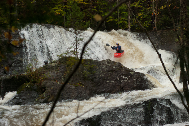
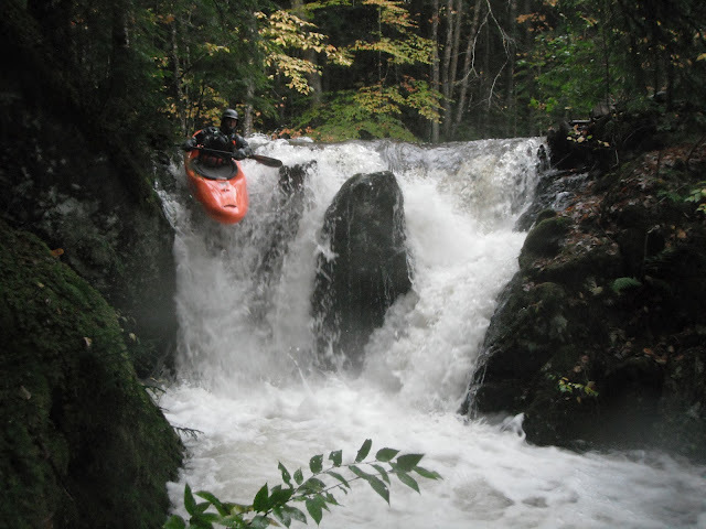
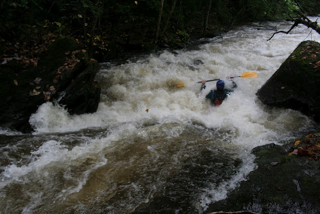
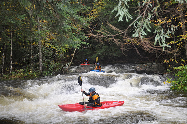
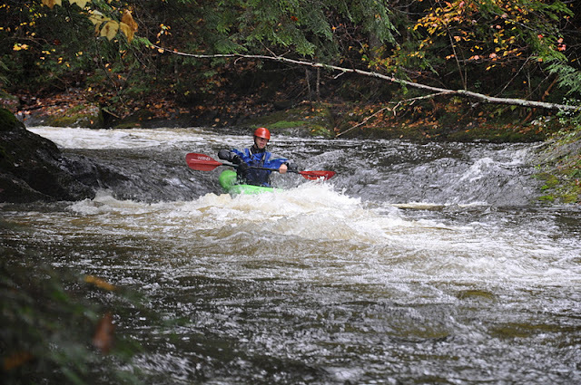
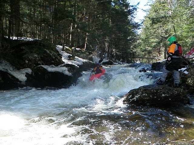
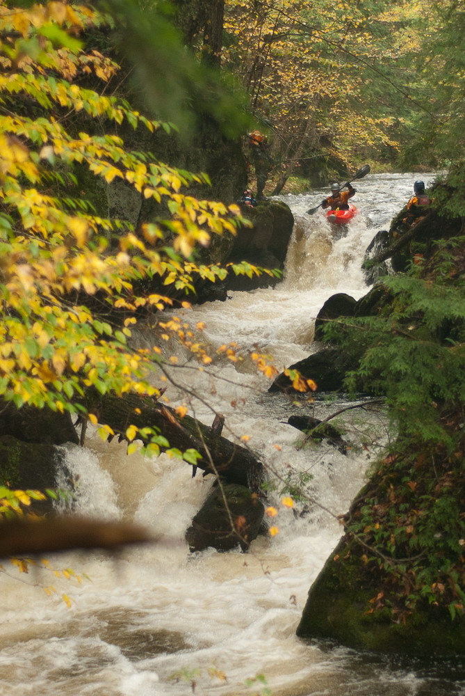
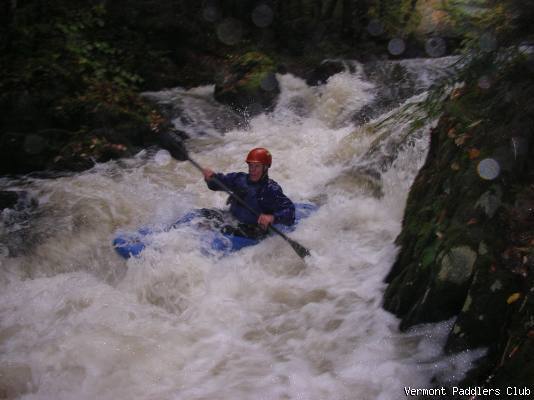
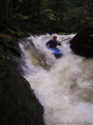
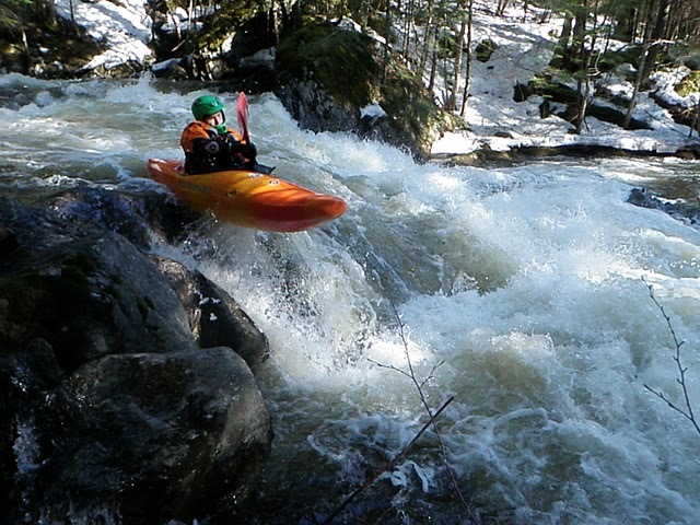
Photo

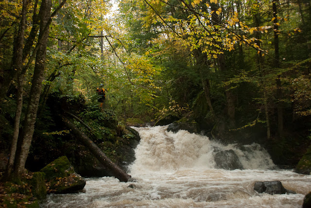
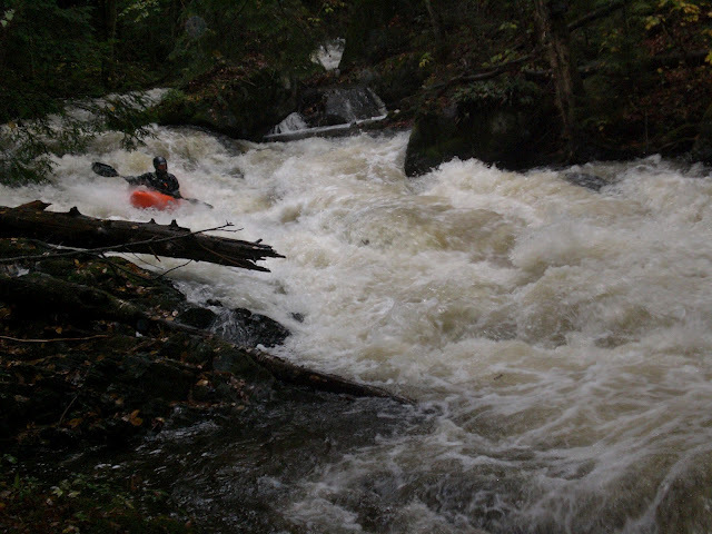
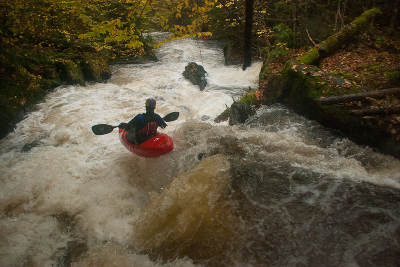
Photo courtesy of American Whitewater
Description
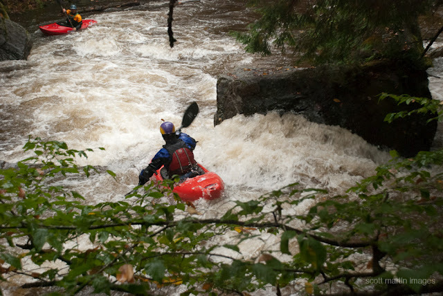
Take Out is a transition rapid marking the end of the Green River Reservoir section, characterized by a swift current and potential debris accumulation near the confluence with the Lamoille River. Paddlers should be prepared for potential strainers and shifting water conditions as the river gradient changes and the channel narrows approaching the takeout point.
Location
Other Rapids on This Run (17)
 Rapid
N/A
Rapid
N/A
Put In
 Waterfall
V
Waterfall
V
Moonshine
 Rapid
IV+
Rapid
IV+
Plopp Ploop Fizz Fizz
 Rapid
IV
Rapid
IV
Double Squeeze
 Rapid
III
Rapid
III
Sleeper
 Rapid
III
Rapid
III
Lamo
 Rapid
III
Rapid
III
Plugger
 Rapid
V
Rapid
V
Young Buck
 Rapid
III+
Rapid
III+
Cookie Duster
 Waterfall
V
Waterfall
V
Humble Pie (aka: Money Shot)
 Rapid
III+
Rapid
III+
Doe-Si-Doe
 Rapid
IV+
Rapid
IV+
Lumber Yard
 Rapid
III+
Rapid
III+
Twin Ledges
 Rapid
III
Rapid
III
Zag Zig
 Rapid
III
Rapid
III
Boa
 Rapid
IV
Rapid
IV
Runway
 Rapid
IV
Rapid
IV
Piton
View Full Run
Green River Reservoir to Lamoille River
Green River (Lamoille Trib)
IV-V
3.0 mi
Current Conditions
5-Day Forecast
Whitewater data from
American Whitewater
American Whitewater