Gauge Conditions
Primary
Runnable: 10.5 – 16.0 FT
Data from American Whitewater & USGS
Photo

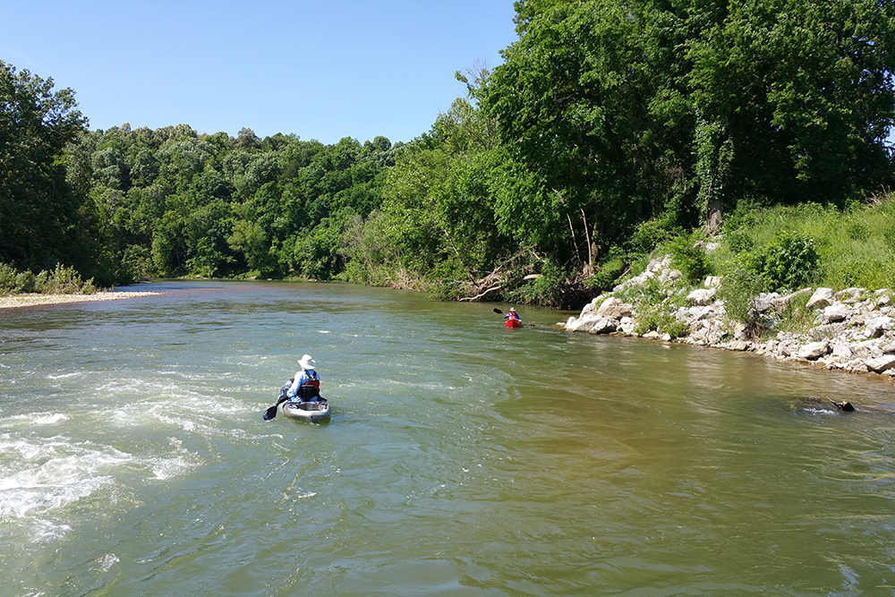
Photo courtesy of American Whitewater
Description
Take Out marks the end of this long, remote Crooked Creek section, signaling the conclusion of a challenging multi-day wilderness run. While specific rapid details are limited, paddlers should be prepared for potential shallow water, rock gardens, and shifting conditions that can make navigation complex in this lower section of the river.
Location
Other Rapids on This Run (1)
View Full Run
Harman to Hwy 101 (52 miles)
Crooked Creek (Boone & Marion Co.)
I-II
49.0 mi
Current Conditions
5-Day Forecast
Whitewater data from
American Whitewater
American Whitewater