Gauge Conditions
Runnable: ? – ? CFS
Approximate - nearest available gauge. Use as general reference only.
Data from American Whitewater & USGS
Photo
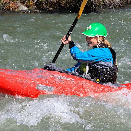
Photo courtesy of American Whitewater
Description
Take Out rapid on the Mattawamkeag River marks the end of the Haynesville to Kingman section, characterized by potential shallow water and scattered boulder gardens that require precise maneuvering. Paddlers should be prepared for potential route-finding challenges and potential pin hazards in low water conditions, with careful line selection critical to navigating this final stretch safely.
Location
Other Rapids on This Run (1)
View Full Run
Haynesville to Kingman
Mattawamkeag
I-II
30.5 mi
Current Conditions
5-Day Forecast
Whitewater data from
American Whitewater
American Whitewater