Gauge Conditions
Runnable: 140.0 – 3,000.0 CFS
Pools (majority of river) may be paddled, but shoals will be a serious drag (portage). Not really 'whitewater' at these flows.
Data from American Whitewater & USGS
Photo
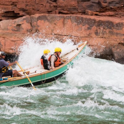
Photo courtesy of American Whitewater
Description
Take Out is the terminal rapid of this remote Missouri river section, marking the end of the run at Highway 61 with potential debris and shallow water conditions. Paddlers should be prepared for a potentially technical exit depending on water levels, with careful route selection required to avoid potential strainers or low-water obstacles near the takeout point.
Location
Other Rapids on This Run (1)

View Full Run
Hester Wildlife Area to Hwy.61 (9.25 miles)
South Fabius
I-II(III)
9.3 mi
Current Conditions
5-Day Forecast
Whitewater data from
American Whitewater
American Whitewater