Gauge Conditions
Runnable: 300.0 – 99,999.0 CFS
For the 8.6-mile class I-II section starting 0.3 miles below High Falls and ending a Ga 42: 300 cfs is a stab at an enjoyable minimum. 450 cfs is brown and
Data from American Whitewater & USGS
Photo
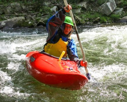
Photo courtesy of American Whitewater
Description
Take Out is located at the takeout point for the High Falls section of the Towaliga River, marking the end of the run with potentially complex exit logistics. While specifics about the rapid's hydraulics are limited, paddlers should be prepared for potential hazards near the exit point and carefully scout the area before concluding their descent.
Location
Other Rapids on This Run (1)
View Full Run
High Falls
Towaliga
IV(V)
1.0 mi
Current Conditions
5-Day Forecast
Whitewater data from
American Whitewater
American Whitewater