Gauge Conditions
Data from American Whitewater & USGS
Photo
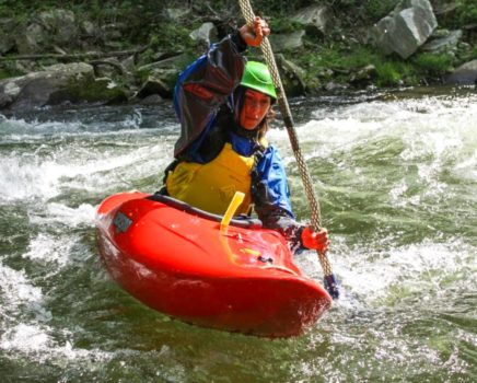
Photo courtesy of American Whitewater
Description
Take Out marks the end of the High Falls State Park river run, featuring a transition zone where paddlers must carefully navigate to river exit points. While specific technical details are limited, careful route selection and awareness of potential hazard zones near the takeout area are critical for safe river egress.
Location
Other Rapids on This Run (1)

View Full Run
High Falls State Park to Ga 42
Towaliga
I-II
8.7 mi
Current Conditions
5-Day Forecast
Whitewater data from
American Whitewater
American Whitewater