Take-out
GA
Take Out
High Shoals Creek - High Shoals Creek Trailhead to Hiwassee River to US 17 (GA)
Gauge Conditions
Runnable: ? – ? CFS
Approximate - nearest available gauge. Use as general reference only.
Data from American Whitewater & USGS
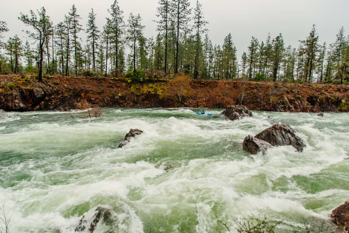
Photo
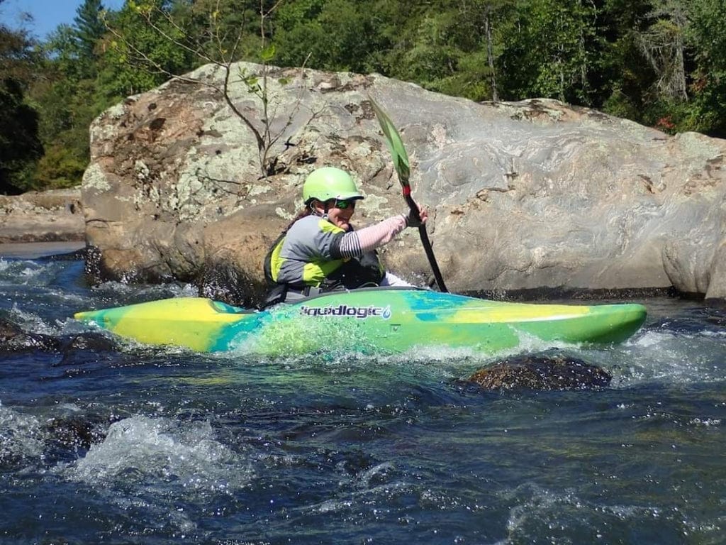
Photo courtesy of American Whitewater
Description
Take Out marks the terminus point where paddlers exit High Shoals Creek before its confluence with the Hiwassee River. While specific details are limited, the rapid's location suggests potential transition zones with potential geological obstacles or flow variations that require attentive navigation. Paddlers should assess local water levels and potential hazards at the takeout point, ensuring a safe transition from the creek to the next river segment.
Location
Other Rapids on This Run (3)
View Full Run
High Shoals Creek Trailhead to Hiwassee River to US 17
High Shoals Creek
III-IV+(V+)
4.7 mi
Current Conditions
5-Day Forecast
Whitewater data from
American Whitewater
American Whitewater