Gauge Conditions
Runnable: 100.0 – 3,000.0 CFS
Flow range for best boatability uncertain. Please help your fellow boaters with a comment or report.
Data from American Whitewater & USGS
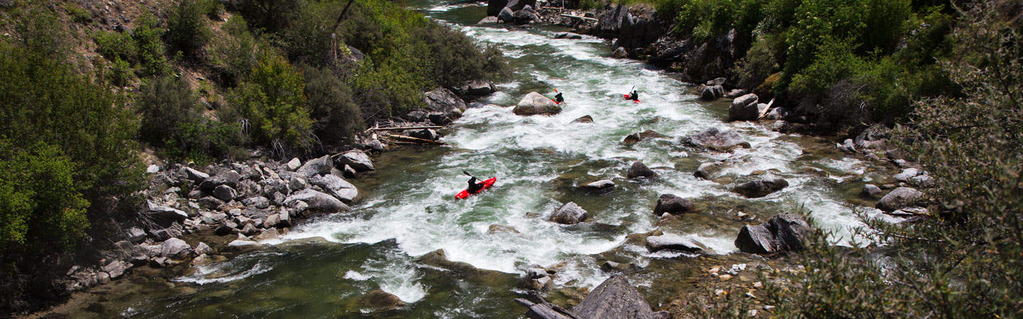
Photo
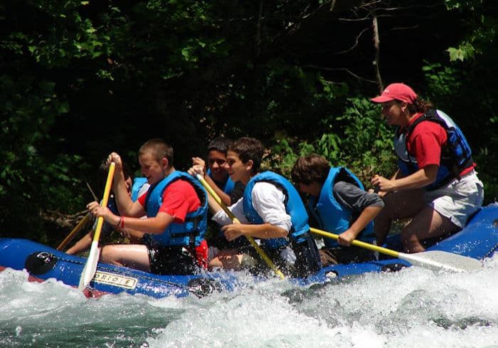
Photo courtesy of American Whitewater
Description
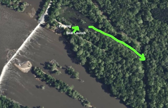
Take Out is the terminal rapid at the end of this Buckhorn Creek run, marked by a tight constriction between rocky banks that compresses the river's flow. While specific difficulty is unrated, paddlers should be prepared for potential hidden obstacles and a sharp gradient change as the creek approaches its final descent before the dam road takeout. Scout carefully and be aware of potential strainers or debris that may have accumulated in this transitional zone.
Location
Other Rapids on This Run (2)
View Full Run
Highway 42 to Buckhorn Dam Rd.
Buckhorn Creek
I-II
3.8 mi
Current Conditions
5-Day Forecast
Whitewater data from
American Whitewater
American Whitewater