Gauge Conditions
Runnable: ? – ? CFS
Approximate - nearest available gauge. Use as general reference only.
Data from American Whitewater & USGS
Photo

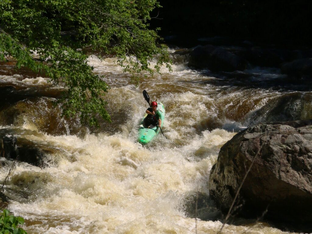
Photo courtesy of American Whitewater
Description
Take Out rapid marks the conclusion of the Brewers Creek run, featuring a technical approach through a narrow channel with submerged boulders that can create unpredictable hydraulics. Paddlers should be prepared for potential obstacles and maintain precise boat control, especially during lower water levels when rock placement becomes more critical. Scout the rapid from river right to identify the cleanest line and potential hazards.
Location
Other Rapids on This Run (1)
View Full Run
Highway V to Highway MM (7 miles)
Brewers Creek
III
6.1 mi
Current Conditions
5-Day Forecast
Whitewater data from
American Whitewater
American Whitewater