Gauge Conditions
Data from American Whitewater & USGS
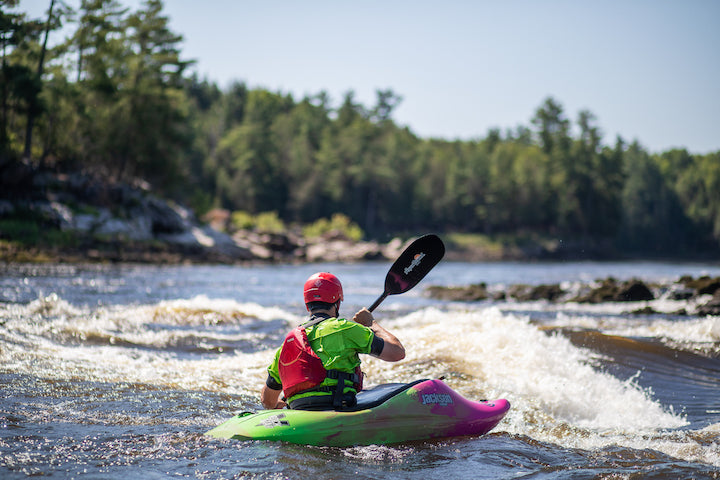
Photo
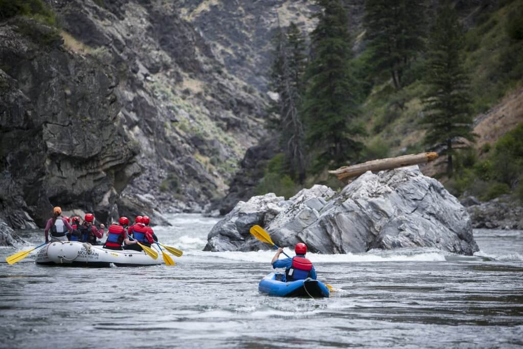
Photo courtesy of American Whitewater
Description
Take Out rapid marks the end of the Zigzag River run, situated just before the takeout point at Hwy 26. While specific details about this rapid are limited, paddlers should be aware of potential hazards typical of mountain rivers, including submerged rocks and potential debris near the takeout zone. Careful navigation and scouting are recommended as the river conditions can change rapidly with snowmelt and seasonal variations.
Location
Other Rapids on This Run (1)
View Full Run
Hwy 26 to Lolo Pass
Zigzag
III-IV
4.2 mi
Current Conditions
5-Day Forecast
Whitewater data from
American Whitewater
American Whitewater