Gauge Conditions
Data from American Whitewater & USGS
Photo
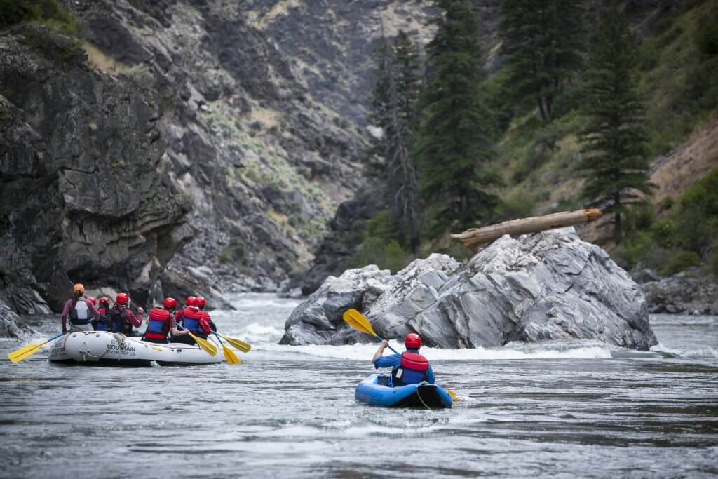
Photo courtesy of American Whitewater
Description
Take Out is the final rapid on this section, marking the end of the run where paddlers exit the river near the Highway 231 bridge. While details are limited, boaters should be aware of potential debris and shifting river conditions that could impact the takeout approach. Careful scouting and situational awareness are recommended when navigating this transition point.
Location
Other Rapids on This Run (1)
View Full Run
Hwy 280 to Hwy 231
Hatchet Creek
I(II)
12.8 mi
Current Conditions
5-Day Forecast
Whitewater data from
American Whitewater
American Whitewater